MotionMonitor
Geospatial Insight launches MotionMonitor
New-to-market product designed to provide early warning of potential structural failure in and around mine tailing dams.
New-to-market product designed to provide early warning of potential structural failure in and around mine tailing dams.
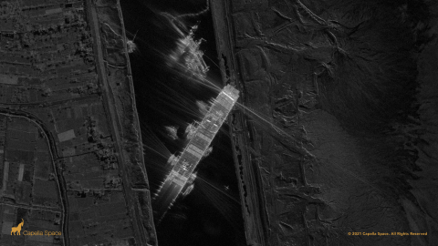
Capella Space launched its first operation satellite, Capella-2, in August 2020 and now provides very high resolution (50cm) SAR imagery for any location in the world. With access to high quality imagery, a critical component of the needs of Geospatial Insight’s extensive client base, the cementing of a reseller partnership with Capella, which was announced earlier this year, was an obvious decision to further extend our capabilities in the delivery of global event response and asset intelligence.
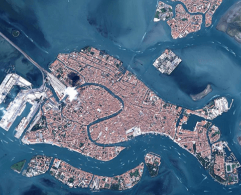
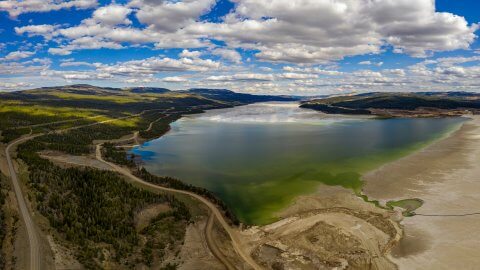
As hydrology is the study of the distribution and movement of water both on and below the Earth’s surface, as well as the impact of human activity on water availability and conditions, it not surprising that remotely sensed imagery from both air and satellite has long been recognised as a valuable information source for data creation and modelling.
Find out more on how PropertyView combines artificial intelligence and scalable cloud computing to extract critical building information from satellite imagery.

Leveraging innovations in drone, satellite and aerial imagery and combining this with big data capabilities, find out more about Geospatial Insight are revolutionising the insurance
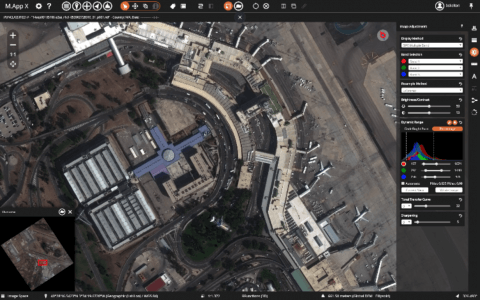
Hexagon Geospatial’s M.App Enterprise provides a unified geospatial platform that enables users to create applications that suit the specific needs and requirements of all users; from managers to GIS experts and field workers.