The Atlantic hurricane season runs from 1st June to 30th November. The last two years have set a worrying record – for the first time, two consecutive seasons have included 21 or more storms. 2020 alone generated 31 named storms, whilst last year 21 named storms resulted in over seventy-eight billion dollars in damage across the USA. One of the most devastating of these was Hurricane Ida which itself broke numerous records and left a trail of destruction. Unlike most tropical cyclones Hurricane Ida did not weaken rapidly after landfall, instead it maintained Category 4 strength for further six hours and in total affected over 2,400km of the United States.
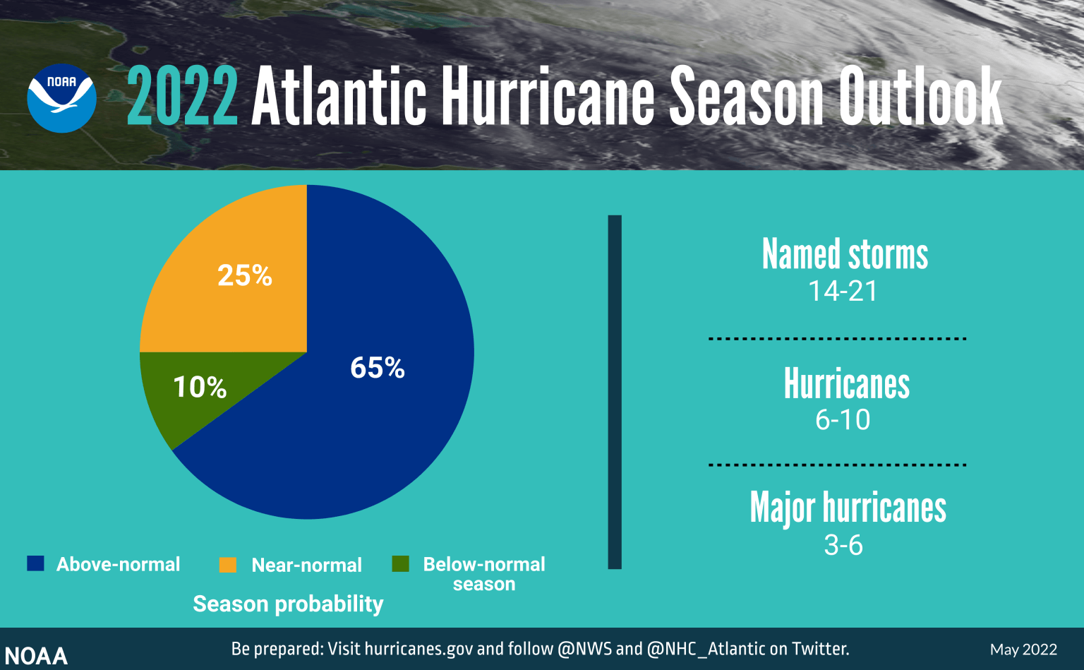
NOAA’s outlook for the 2022 hurricane season forecasts a 65% chance of an above average season, just 25% chance or a normal season and a 10% chance of a below normal season. Fortunately, it is not expected that the 2020 record-breaking season which generated 31 named storms with be repeated this year.
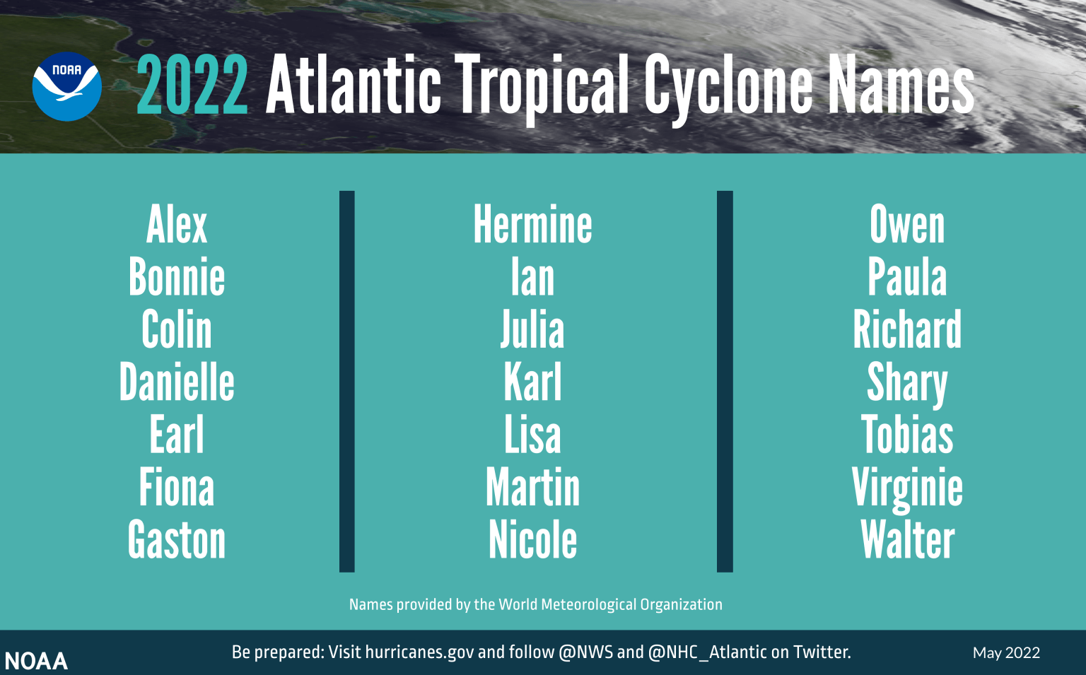
An ‘average’ Atlantic hurricane season generates around 14 named storms, 7 of which would become hurricanes and 3 major hurricanes. This year, warmer than average surface temperatures and weaker tropical Atlantic trade winds has led NOAA to predict a busier season with 14 – 21 named storms of which 6 – 10 are expected to become hurricanes and 3 – 6 major hurricanes. A key factor also contributing towards NOAA’s prediction is the expectation that La Niña will persist throughout the season.
In April, Colorado State University (CSU) released a similar prediction, forecasting 19 named storms, 9 hurricanes and 4 major hurricanes. The CSU cited contributing factors to be the likely absence of El Nino and a high probability that sea surface temperatures across the eastern and tropical Atlantic Ocean will be near average whilst the Caribbean and subtropical Atlantic will be warmer than normal.
NOAA’s Atlantic Oceanographic and Meteorological Laboratory (AOML) will be undertaking ground-breaking research this season to further improve predictions of rapid intensification events. These are traditionally difficult to forecast due to the complexity of their formation. AOML scientists will collaborate with multiple partners to deploy a host of instruments to sample oceanic and atmospheric conditions in real time. The data they gather will not only protect life and property, but also advance the understating of how and why some storms rapidly form and intensity.
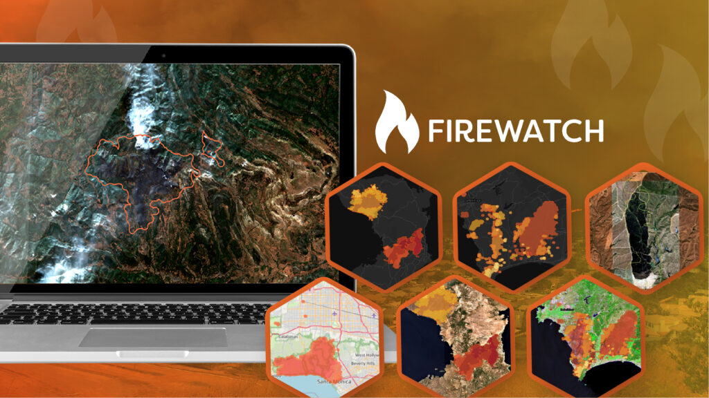
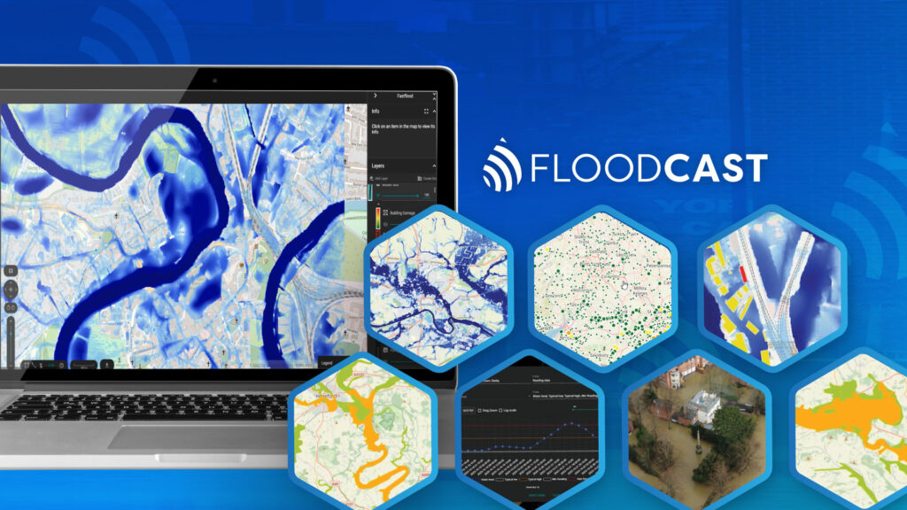
To enable our insurance clients to respond as quickly as possible to any damaging storm event our on-demand CAT response service, (RE)ACT, is available to track and respond to any storm 24/7/365. Using AI-based analytics which draw on imagery captured from over 600 satellites and a unique network of drone and aerial operators on every continent (RE)ACT provides rapid and accurate per-property damage estimation within hours of the impact of a storm event.
Visit the (RE)ACT product page for more information or to request a demo to ensure you are fully prepared for the oncoming season.
We will also publish regular RE(ACT) watch round ups on our LinkedIn and Twitter channels, covering active storms, the path and potential impact of these storms.
Follow us to see how the season develops.