Satellite Imagery

Thorough our partnership with all the leading commercial satellite operators we give clients access to a huge range of satellite data capabilities. This virtual constellation draws imagery from more than 750 satellites currently in orbit, providing access to both optical and radar imagery at a range of resolutions and sensing modes.

Services


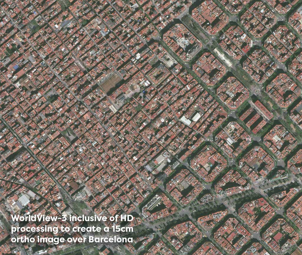
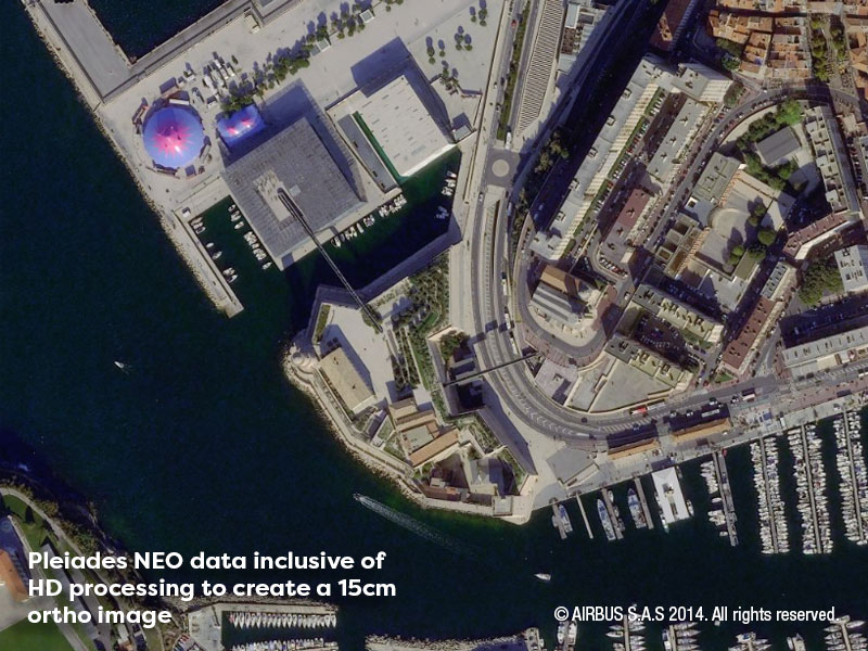
Imagery is sourced and supplied to meet each client’s specific needs in terms of spatial and spectral resolution, resulting in timely image acquisition frequency. Our team of technical specialists work with our clients to determine the optimal data solution for their specific requirements. Whether this is searching data archives to identify existing imagery, tasking new imagery for current coverage or a selection of both.

In addition to the supply of data we offer value add services to turn data into actionable intelligence.

Ready to get in touch?

Benefits

Global Coverage

Access to imagery from over 750 orbiting satellites

On Demand Tasking

Gather data in response to real-time needs

World Wide Data Archives

Access historic data for a specific event

Enhanced Solutions

Benefit from our expertise in professional proprietary solutions

Spotlights

MAXAR

The Maxar Intelligence portfolio offers high-resolution satellite imagery and derived geospatial data layers designed to help map, detect and predict change across the globe. Their range of satellites including Worldview 1, 2 and 3, Geo-eye 1 and Two Worldview Legion offer panchromatic, multispectral and SAR solutions. Whilst their MGP Pro cloud-based subscription service offers timely and secure access to their vast data archive, analysis and access to tasking new imagery.

Airbus

Airbus offers a range of a remote-sensing surveillance solutions for a wide range of industries and applications. Their constellation offers multi-source, multi-resolution optical and radar sensors aimed at providing decision makers with integrated, sustainable solutions . Their satellites including Pléiades Neo, Pléiades, SPOT and Vision-1 optical satellites and the Radar Constellation deliver data with resolutions ranging from 1.5m to 25cm.

Check out the Latest Insights and Updates from the Geospatial Insight Team

Learn More

Request a demo

Fill The Form Out Below And One Of Our Sales People Will Be In Touch Shortly

Interested In Buying Our Products?

Fill The Form Out Below And One Of Our Sales People Will Be In Touch Shortly