ERDAS APOLLO 2023: Next-Generation Data Management and Data Discovery
Managing vast amounts of geospatial data has always been a challenge for organisations involved in mapping, monitoring, and geospatial analysis. How do you keep track of ever-growing datasets? How do you ensure your data management solution makes the right data accessible when you need it? And how can you streamline workflows without adding complexity? The latest release of ERDAS APOLLO, from Hexagon, sets a new standard for streamlined and scalable data management. Now fully integrated with LuciadFusion, ERDAS APOLLO optimises workflows, improves searchability, and enhances accessibility, allowing users to maximise the value of their satellite imagery and geospatial data.
A Smarter Approach to Data Management
The use of geospatial data is expanding, making traditional storage and retrieval methods increasingly insufficient. The latest version of ERDAS APOLLO (v2023) introduces a refined, user-friendly interface that simplifies data discovery, geospatial analysis, and sharing of satellite imagery and other datasets.
Key benefits include:
- Simplified data handling – Allowing users to organise and retrieve geospatial data without technical complexity.
- Automated metadata tagging – Ensuring datasets, including satellite imagery, are accurately catalogued and easy to locate.
- Lightning-fast performance – Improved processing speeds, allowing users to work more efficiently with large-scale geospatial data.
- Enhanced data visualisation tools – Enabling users to interact with data in more intuitive and dynamic ways.
By eliminating the complexity of data management, ERDAS APOLLO enables organisations to focus on extracting insights from geospatial analysis rather than dealing with infrastructure challenges.
Seamless Data Discovery and Access with ERDAS APOLLO 2023
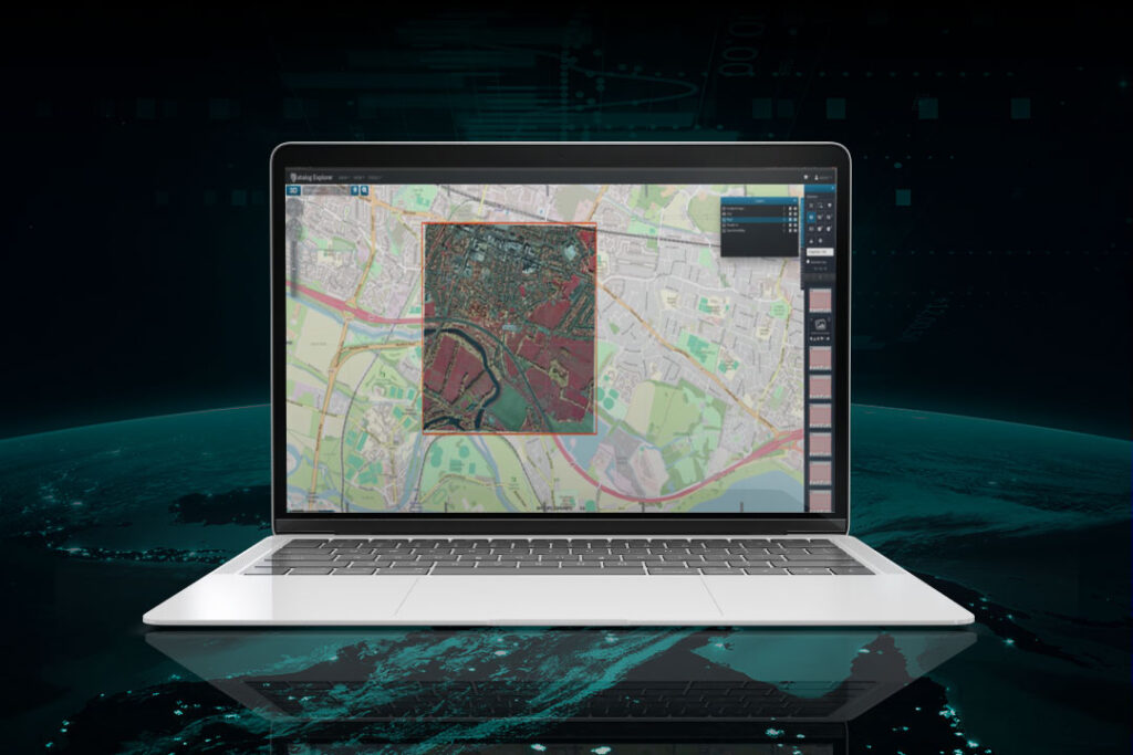
One of the most intuitive features of ERDAS APOLLO is its intelligent search and filtering capabilities, making data discovery easier than ever.
Whether you’re working with satellite imagery, aerial surveys, GIS layers, or any other geospatial data, finding the right dataset has never been easier
How ERDAS APOLLO 2023 Simplifies Data Discovery and Access
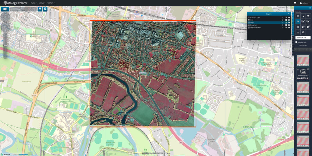
- Map-based search – Simply pan and zoom to an area of interest, and ERDAS APOLLO will instantly display relevant datasets.
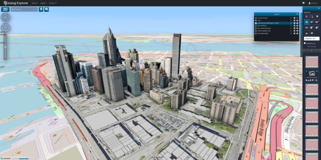
- High-resolution 3D data visualisation tools – Users can explore detailed geospatial data with improved clarity, aiding geospatial analysis.
- Flexible data access – Users can download datasets for offline use or publish them as web services for seamless integration into third-party applications.
- Advanced analysis capabilities – ERDAS APOLLO supports high-resolution geospatial analytics, such as NDVI vegetation analysis, enabling deeper insights from satellite imagery and other geospatial data.
These features allow organisations to quickly locate, analyse, and deploy their geospatial data, leading to smarter decision-making and improved data management.
Proactive Data Management with Automated Alerts
Keeping track of constantly updated geospatial datasets can be a daunting task. ERDAS APOLLO introduces automated alerts, allowing users to stay ahead of critical data changes.
By setting up areas of interest, users receive real-time email notifications whenever new or updated geospatial data or satellite imagery becomes available. This ensures that teams never miss vital updates, improving efficiency and eliminating the need for manual data tracking.
Transforming the Way Organisations Use Geospatial Data
From government agencies to private enterprises, ERDAS APOLLO provides the scalability, speed, and intelligence needed to enhance modern geospatial workflows. Whether handling satellite imagery, elevation models, or GIS layers, ERDAS APOLLO ensures faster, smarter, and more efficient data management.
With ERDAS APOLLO, organisations can move beyond traditional data management and embrace a more intelligent approach to geospatial workflows.
Want to learn more about ERDAS APOLLO 2023?
Visit our YouTube channel to view a recording of our recent webinar Discover ERDAS APOLLO: Your Next-Generation Data Management Solution or get in touch at [email protected] to schedule a demo and see how ERDAS APOLLO can transform your geospatial data operations.