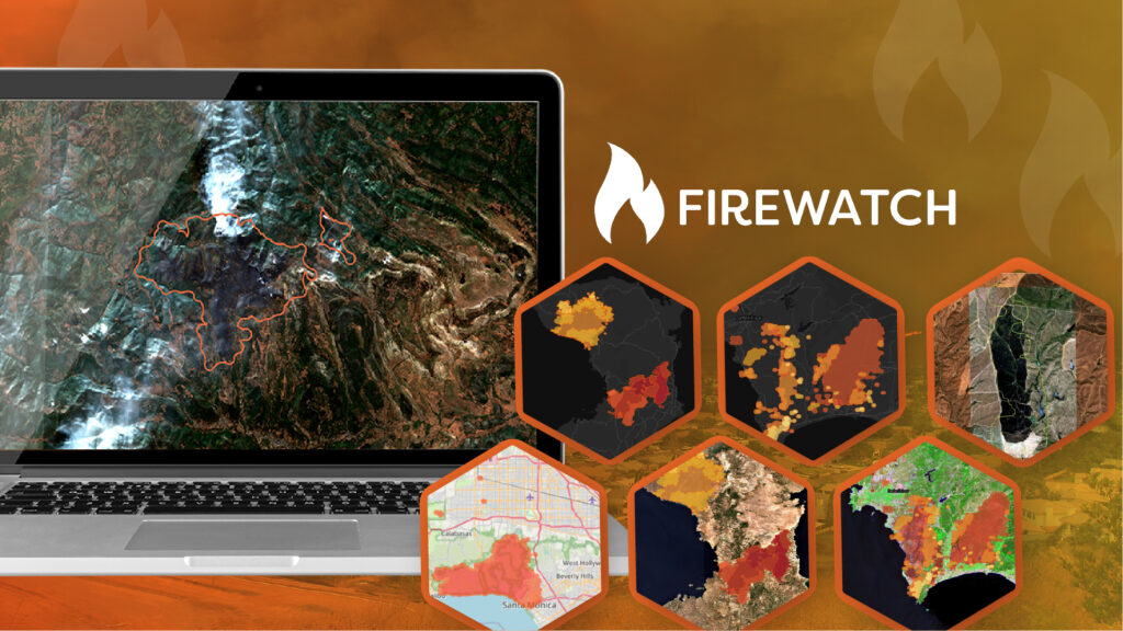
Ask a Question

FireWatch

A white icon of flame to present fire monitoring and wildfire detection.

Wildfires are becoming increasingly destructive. In 2024, insured losses reached US $3 billion, or 7% of global NatCat losses, far above the 1% long-term average. FireWatch predicts, detects and monitors wildfires to deliver critical intelligence to enable effective wildfire risk management.

A logo of FireWatch with a orange flame icon to represent fire monitoring and wildfire detection.

Solution


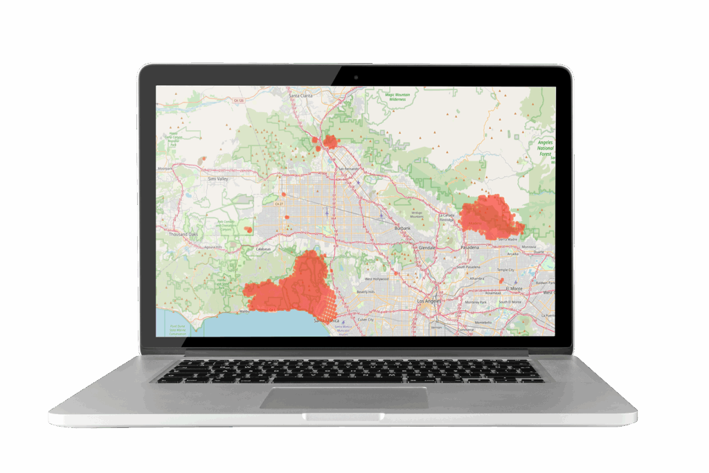
FireWatch, the advanced wildfire prediction, monitoring and risk intelligence platform, is specifically designed to support organisations in anticipating, tracking and responding to wildfire threats with accuracy and speed.

FireWatch combines satellite imagery, weather forecasts and a range of environmental data including, soil moisture, to deliver near real-time updates of fire perimeter, enabling early detection, live monitoring and post-event impact analysis. Historical wildfire records and scenario modelling further enhance planning and risk evaluation. In addition, FireWatch predicts the likelihood and direction of fire spread and quantifies the risk to property and infrastructures.

Accessible via API or dashboard, FireWatch integrates seamlessly into existing systems, providing reliable intelligence that strengthens resilience, supports operational decisions and reduces wildfire-related losses.

Ready to get in touch?

Benefits

An icon of a house inside a flame to represent limit wildfire losses.

Limit Wildfire Losses

Early insight and rapid response reduce damage and financial exposure

Icon of a shield inside a flame to represent predictive risk insights.

Predictive Risk Insights

Data-driven intelligence strengthens preparedness and supports sustainable operations

A icon of a house with a medical cross inside a rotating arrow to represent accelerate response and recovery.

Accelerate Response & Recovery

Reliable pre, during, and post-event assessments speed up remediation and streamline insurance claims

Icon combining a thumbs up and a coin to show reduced intervention and costs.

Inspire Trust and Confidence

Transparent, evidence-based insights enhance credibility with stakeholders and communities

Features

Icon of a satellite to represent advanced risk analysis.

High-Frequency Satellite Feeds

Hotspot detection from MODIS, VIIRS and other EO satellites, updated up to four times daily

Icon of a target and inside is a exclamation mark to represent millimetric precision.

Accurate Wildfire Prediction

Unique wildfire risk index combining multiple environmental, climate and weather data feeds to deliver a dynamic daily update of risk status

Icon of a magnifying glass viewing a graph to represent trend and risk insight.

Trend
Analysis

Leverages historical wildfire records to eliminate false positives and enable modelling of future trends

Icon of a piece of paper in a folder to represent files and data collection.

Flexible Delivery Options

Access intelligence via customisable dashboard, API integration, GIS outputs or automated alerting

Mock-up of the FireWatch insurance flyer, featuring orange and black branding with wildfire imagery. The flyer highlights wildfire prediction and monitoring for insurers and reinsurers, focusing on risk assessment, underwriting support, and claims validation powered by satellite data and near real-time intelligence.

FireWatch Wildfire Monitoring Insurance Flyer

READ MORE

Request a demo

Fill The Form Out Below And One Of Our Sales People Will Be In Touch Shortly

Interested In Buying Our Products?

Fill The Form Out Below And One Of Our Sales People Will Be In Touch Shortly