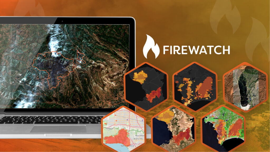
Geospatial Insight today launches FireWatch, a state-of-the-art wildfire prediction and monitoring platform that combines live satellite analysis, environmental data, and weather forecasts to deliver near real-time intelligence. Designed to help insurers, emergency services, governments, and utility companies make faster, smarter decisions, FireWatch enables proactive risk management, protects communities, and reduces the financial impacts of wildfires.
Accessible via API, FireWatch provides a baseline fire risk layer that supports organisations across all sectors in identifying and monitoring wildfire risk, including insurers managing higher-risk portfolio exposures. For live fire tracking and post event analysis, FireWatch also integrates multiple data sources, including thermal satellites, high-resolution weather models, soil moisture datasets, historical fire records, and optional high-resolution imagery. With updates refreshed up to four times daily, FireWatch allows users to assess risk, monitor developments, and evaluate impact with unprecedented speed and accuracy.
“FireWatch delivers the intelligence organisations need to act decisively before, during, and after wildfire events,” said Paul Fearn, CEO at Geospatial Insight. “By combining Earth Observation data with environmental insights, it transforms how we understand and respond to wildfire risk.”
FireWatch supports a wide range of applications, from improving insurance underwriting and claims processes to guiding emergency response deployment, government resilience planning, infrastructure protection, and reinsurance portfolio management. By providing early warnings, live monitoring, and trend analysis, FireWatch helps minimise damage, inform evidence-based policy, and strengthen operational resilience.
With wildfires increasing in frequency and intensity worldwide, FireWatch offers a powerful solution to safeguard people, property, and the environment.
For further information:
Visit https://geospatial-insight.com/solutions/fire-monitoring-platform-firewatch/
Or contact our marketing team at [email protected]