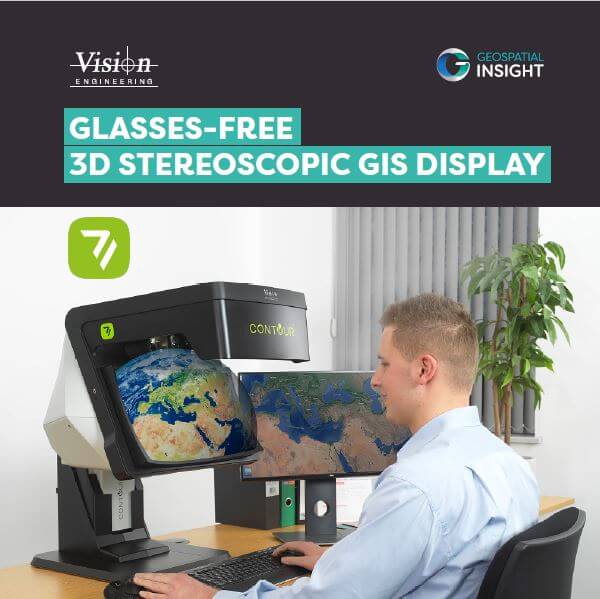
The CONTOUR stereoscopic 3D monitor redefines how geospatial data is experienced. Purpose-built for professionals working with complex spatial datasets, CONTOUR delivers true 3D visualisation without the need for special glasses, enhancing depth perception, spatial awareness, and decision-making accuracy.
Stereoscopic 3D Monitor Brochure
Download the Stereoscopic 3D Monitor brochure to explore cutting-edge 3D visualisation technology for geospatial analysis and insight.
Related Articles
Check out More of our Related Posts Below...

ERDAS IMAGINE 2023 Update 2 Release Guide
The ERDAS IMAGINE 2023 Update 2 Release Guide contains everything you need to know about…
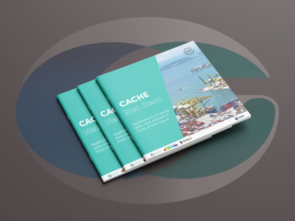
CACHE Net Zero Brochure
Download our brochure on CACHE Net Zero for more information
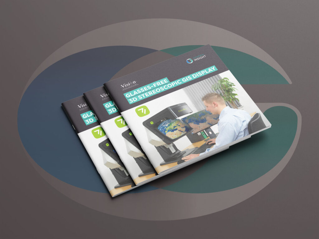
Stereoscopic 3D Monitor Brochure
Download the Stereoscopic 3D Monitor brochure to explore cutting-edge 3D visualisation technology for geospatial analysis…