Air Analytics Mobile Routing Demonstration
A quick demonstration of our Breathe Clean Service, allowing the user to plan a route to minimise exposure to poor air quality hotspots
Related Articles
Check out More of our Related Posts Below...

Style Meets Substance: Advance Imaging in ERDAS APOLLO v2023.4
A quick tutorial video explaining how to use SAR data in Hexagon Geospatial ERDAS IMAGINE…
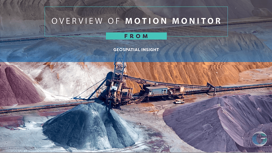
MotionMonitor Overview
Watch the MotionMonitor video to learn how radar data tracks ground movement for risk and…

Using SAR Data in ERDAS IMAGINE – Part 2
A quick tutorial video explaining how to use SAR data in Hexagon Geospatial ERDAS IMAGINE…