Risk Management
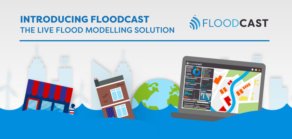
Introducing FloodCast: The Live Flood Monitoring Solution Infographic
Discover how FloodCast applies advanced flood modelling in our latest infographic, showcasing near real-time data…
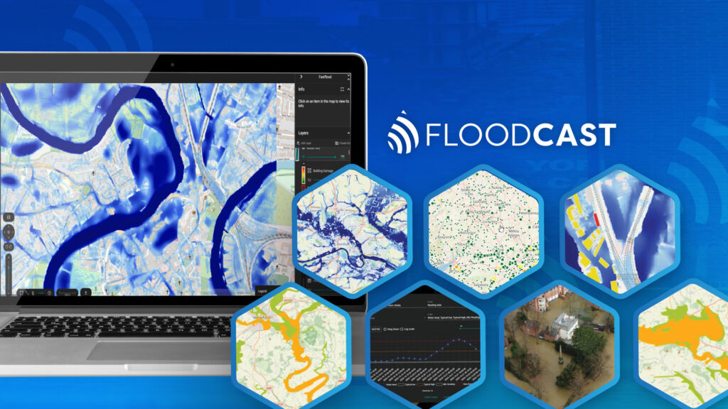
Geospatial Insight Launches New Flood Prediction API
Geospatial Insight has launched FloodCast, an advanced flood prediction API that delivers rapid, high-accuracy forecasts…

FireWatch Wildfire Monitoring Insurance Flyer
Download the FireWatch insurance flyer to discover how satellite data and AI-driven analysis deliver powerful…

FireWatch Wildfire Monitoring Flyer
Download the FireWatch flyer to learn how satellite data and AI-driven analysis deliver powerful wildfire…
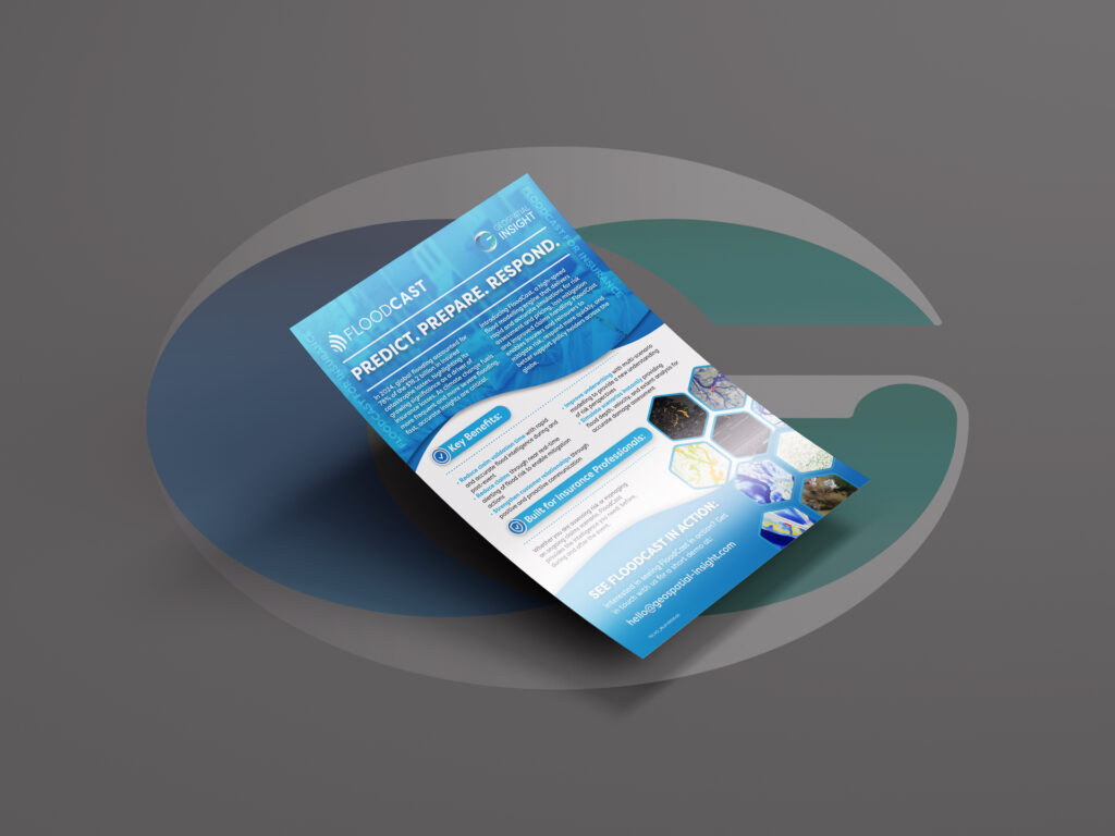
FloodCast Flood Modelling Insurance Flyer
Download the FloodCast insurance flyer to discover advanced flood modelling, near real-time monitoring, and rapid…

FloodCast Flood Modelling Flyer
Download the FloodCast flyer to explore powerful flood modelling, live monitoring, and near real-time intelligence…
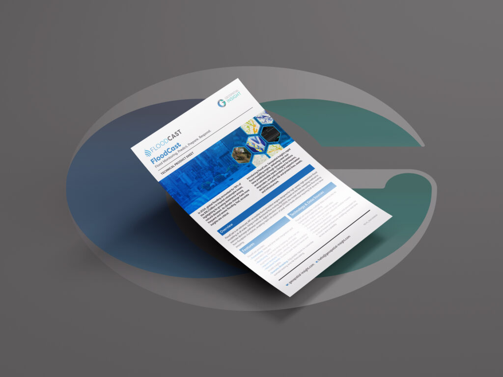
FloodCast Flood Modelling Product Sheet
Download the FloodCast product sheet to explore advanced flood modelling, monitoring, and near real-time insights…