We have made some significant changes by combining technologies to streamline the offering into four distinctive bundles whilst retaining the favourable discounts afforded to our CHEST customers. The new bundles are:
- Hexagon Essentials – basic image processing capability
- Hexagon Desktop Imaging and GIS – integrating advanced image processing, photogrammetry and GIS functionality.
- Hexagon Enterprise – the enterprise solution for cataloguing and managing data
- Hexagon M.App Enterprise – cloud-based solution for creating dashboards across all platforms
The first major change is the Hexagon Desktop Imaging and GIS bundle which combines two previous bundles into one without affecting the price. This means that the Desktop Imaging and GIS Bundle is now a one stop shop for all remote sensing and GIS needs as it offers both the world class ERDAS IMAGINE and GeoMedia GIS software within one bundle.
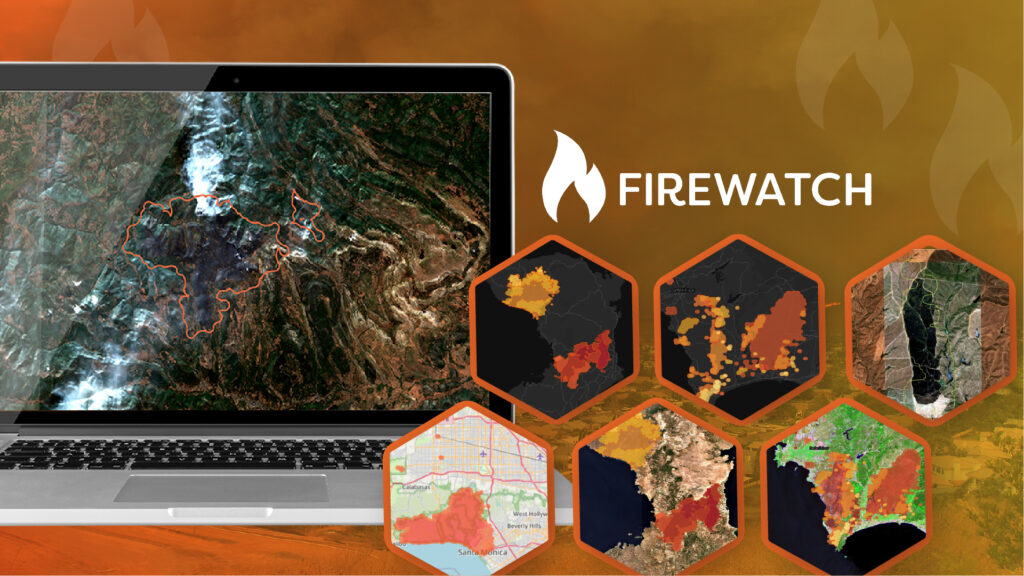
One of the key drivers which led to this change was the ability to offer an end-to-end solution for all geospatial analysts. As the number of orbiting earth observation satellites continues to increase, the value of integrating remote sensed imagery into workflows is now establishing itself across non-traditional markets. For example, we are seeing a steep rise in interest from the insurance industry, particularly for our catastrophe monitoring service which relies heavily on satellite and drone imagery. In turn this has led not only to an increased interest in demand for advanced image processing but also, due to the size and amount of data, the use of machine learning and AI to enable data to be processed, classified and delivered within hours.
“AS THE NUMBER OF ORBITING EARTH OBSERVATION SATELLITES CONTINUES TO INCREASE, THE VALUE OF INTEGRATING REMOTE SENSED IMAGERY INTO WORKFLOWS IS NOW ESTABLISHING ITSELF ACROSS NON-TRADITIONAL MARKETS…”
By offering a combined bundle of software that shares the Spatial Modeler, Hexagon are not only allowing students to easily transition between the two software, but also offering the opportunity to build a solution from start to finish whilst developing vocational skills applicable to numerous industries.
The capability of these technologies continues to advance with every update. In a previous article we discussed the key highlights of ERDAS IMAGINE 2020 Update 3 which comes with ever increasing sensor support, impressive extensions to the existing machine learning and AI capability and, as always, further Spatial Modeler operators. Spatial Modeler not only connects ERDAS IMAGINE and GeoMedia, but also allows us to segue neatly to the fourth bundle in the Hexagon Geospatial CHEST Agreement, M.App Enterprise.
M.App Enterprise newly introduced this year, is where the power of the Spatial Modeler meets a privately hosted cloud-based solution. M.App Enterprise is the intuitive solution for creating geospatial apps across multiple platforms including browser, desktop and mobile. The powerful geoprocessing engine – essentially Spatial Modeler in the cloud – offers hundreds of operators and analytical routines taken from ERDAS IMAGINE and GeoMedia, giving the optimal advanced raster and vector solution. This includes specialist functionality such as photogrammetry and radargrammetry as well as the recently released deep learning and machine learning functionality. In addition, the integration of LuciadFusion technology allows connection to any spatial data source through direct connections to commonly used databases. As a cloud-based solution, license fees are based on hours of usage giving a flexible approach to licensing. Organisations currently registered under the Hexagon CHEST Agreement have the option of a free trial of M.App Enterprise. For further information on this please contact us at [email protected].
With a wealth of training material; including lecture notes, sample data, tutorials and practical exercises available through Hexagon’s education community as well as our technical support team on-call to help with licensing, this agreement provides everything needed for academic institutions to fully integrate image processing and GIS into the curriculum.
To find out if your organisation is eligible to register under the CHEST agreement and discuss available options please contact our team at [email protected].