New Features in the LOCATE EV 2024 Release:
- Data Upload Capability: Upload potential EV chargepoint locations to gain real-time calculations and assess catchment areas, travel times and households served
- Enhanced Locational Intelligence: Improved geospatial accuracy for user-defined charge points using the Ordnance Survey addressing API
- Improved Site Intelligence: Extract and export detailed locational data, including percentage of terraced housing, car utilisation rates, EV uptake, existing charge points, and points of interest
- Advanced Search and Navigation: Enhanced functionalities for accurate navigation including, automatic centring and temporary pin placement
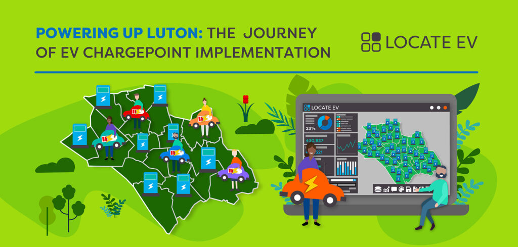
LOCATE EV 2024 Release is not just a technological advancement; it is a significant step towards achieving national and local sustainability objectives. By enabling precise and efficient planning of EV charging networks, LOCATE EV helps reduce carbon emissions, supports the transition to electric vehicles, and promotes sustainable urban development.
“The LOCATE EV 2024 Release makes this adaptable platform even more user-friendly, equipping users with the tools to thoroughly assess their requirements.”
Dave Fox, CEO, Geospatial Insight
Leading Charge Point Operators have also leveraged the platform to determine the optimal mix of charging technologies required to address infrastructure needs in complex urban environments.
LOCATE EV has already proven essential for several local councils, aiding funding acquisition, accelerating responses to resident and business requests, and facilitating the utilisation of council-owned assets as charging hubs.
Digitalising the most manually intensive elements of site surveys and verification processes, LOCATE EV enables stakeholders to swiftly and accurately assess current and future demand for charging infrastructure. The platform facilitates the evaluation and validation of effective charging networks by identifying situational and power-based constraints.
“Geospatial Insight offered an easy-to-use, turnkey solution to quickly quantify the expected future demand for residential on-street charging. This was used as key evidence in support of a successful bid for DFT OLEV funding, providing match funding to that secured from Transport Scotland,” said Ryan Robertson, EV Infrastructure and Roads Assets Officer at East Lothian Council.
“The LOCATE EV 2024 Release makes this adaptable platform even more user-friendly, equipping users with the tools to thoroughly assess their requirements. Having already assisted 6 million people, LOCATE EV is instrumental in driving the expansion of sustainable EV infrastructure across the UK.” Dave Fox, CEO, Geospatial Insight.