Risk Assessment
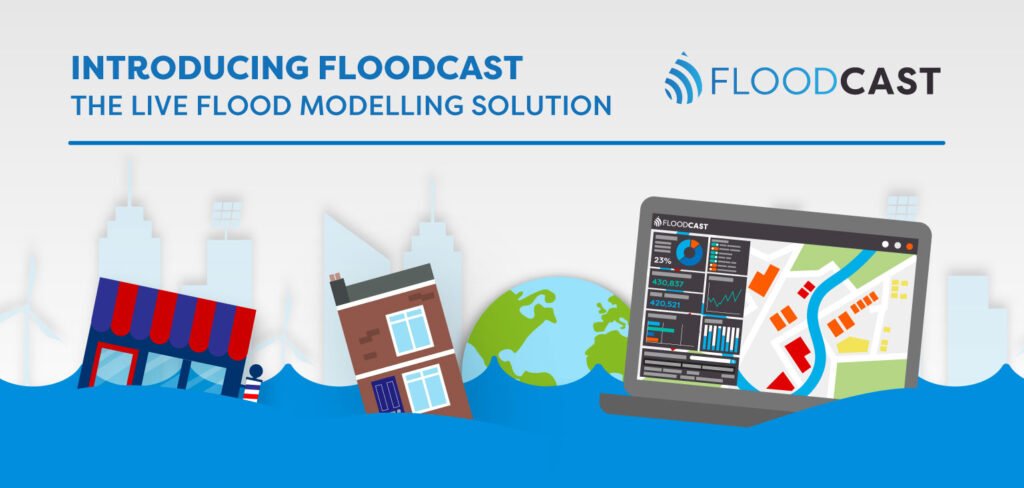
Introducing FloodCast: The Live Flood Monitoring Solution Infographic
Discover how FloodCast applies advanced flood modelling in our latest infographic, showcasing near real-time data…
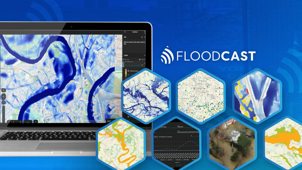
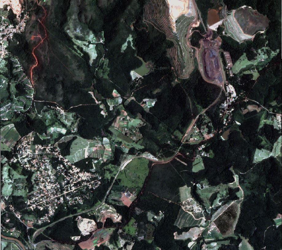
Geospatial Insight Launches New Flood Prediction API
Geospatial Insight has launched FloodCast, an advanced flood prediction API that delivers rapid, high-accuracy forecasts…

FireWatch Wildfire Monitoring Insurance Flyer
Download the FireWatch insurance flyer to discover how satellite data and AI-driven analysis deliver powerful…

FireWatch Wildfire Monitoring Flyer
Download the FireWatch flyer to learn how satellite data and AI-driven analysis deliver powerful wildfire…
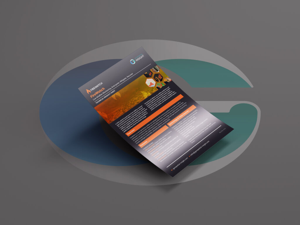
FireWatch Wildfire Monitoring (Dark Version) Product Sheet
Download the FireWatch product sheet (dark version) to explore wildfire monitoring powered by satellite data…
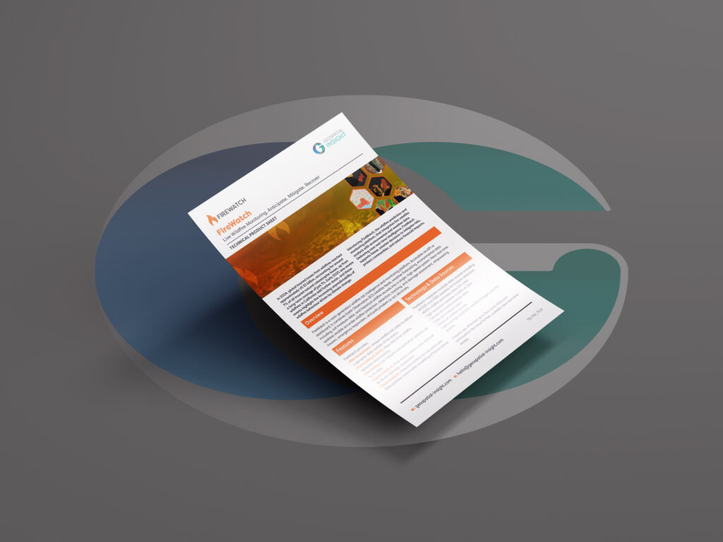
FireWatch Wildfire Monitoring (Light Version) Product Sheet
Download the FireWatch product sheet (light version) to explore wildfire monitoring powered by satellite data…
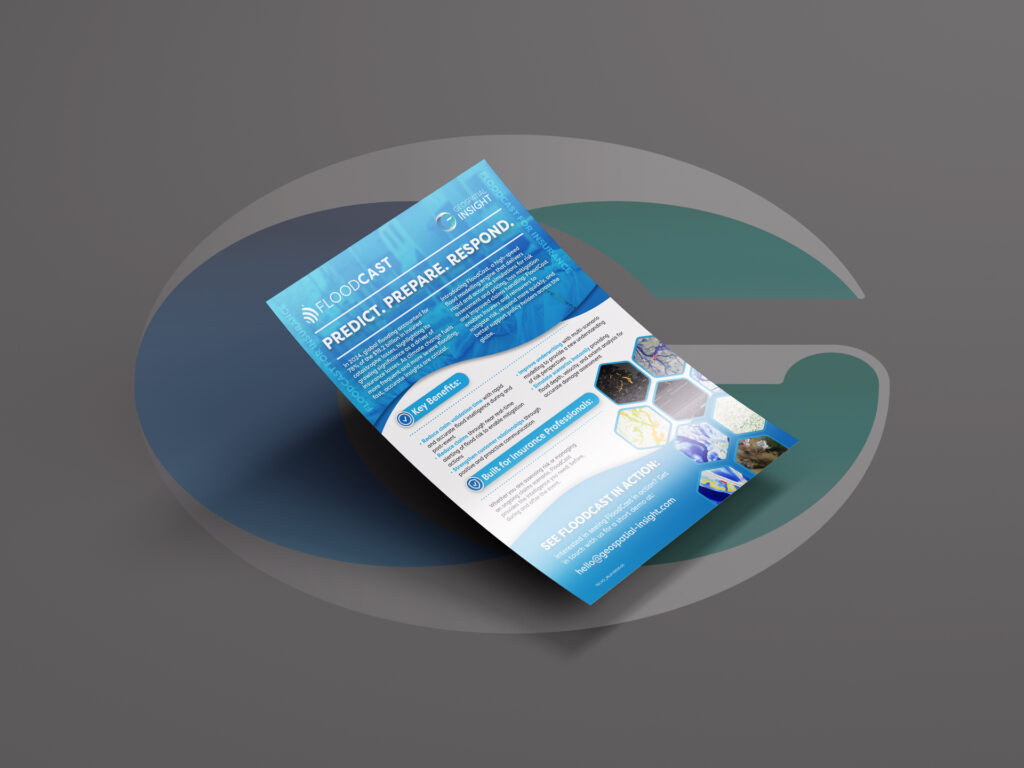
FloodCast Flood Modelling Insurance Flyer
Download the FloodCast insurance flyer to discover advanced flood modelling, near real-time monitoring, and rapid…

FloodCast Flood Modelling Flyer
Download the FloodCast flyer to explore powerful flood modelling, live monitoring, and near real-time intelligence…
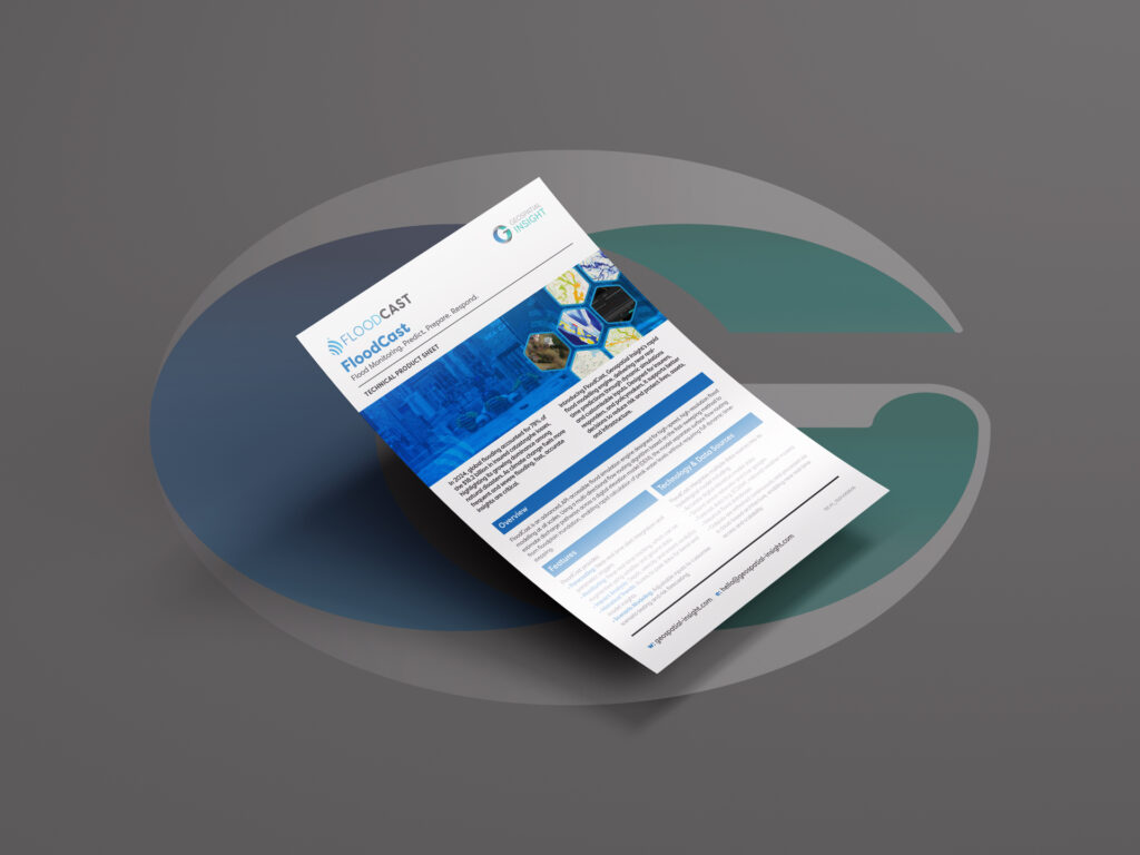
FloodCast Flood Modelling Product Sheet
Download the FloodCast product sheet to explore advanced flood modelling, monitoring, and near real-time insights…
How visual evidence and AI technology are transforming risk management
Sophisticated imagery technology is giving companies and insurers unprecedented access to real-time data and situation…

9 ways visual intelligence can benefit claims management
Check out our that solution allows for rapid response to claims, accessing remote and hazardous…

Embracing alternative data: a three-stage approach for portfolio managers
In the quest for alpha, a growing number of portfolio managers have been exploring the…