However, advancements in satellite data and catastrophe monitoring services are proving to be invaluable tools in combating these disasters and helping the insurance sector assess and mitigate the risks associated with wildfires.
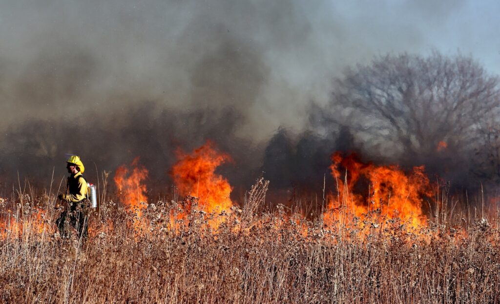
In recent years, Canada has witnessed an alarming surge in wildfire activity. The frequency, intensity, and duration of these fires have increased significantly, leading to unprecedented destruction of forests and wildlife habitats with a record of over 13.5 million hectares burnt so far in 2023.
One of the most significant consequences of these fires is their impact on air quality, not only in Canada but also in neighbouring regions, most notably the United States.
The vast plumes of smoke and ash generated by Canadian wildfires already drifted across the border into the United States earlier this year and the latest wildfires have resulted in air quality alerts affecting up to 70 million people.
While Canada and the US grapple with their wildfire crises, other parts of the world are not immune to these catastrophic events. Southern European countries like Italy, Spain, and Greece have experienced their fair share of devastating wildfires, wreaking havoc on their ecosystems, cultural heritage, and economies.
In recent years, prolonged droughts and extreme heatwaves have created favourable conditions for wildfires to spread rapidly in these regions. The Mediterranean climate with its hot and dry summers provides the perfect breeding ground for fire-prone landscapes.
As a result, wildfires have become a recurring menace in these countries, posing severe challenges for firefighting efforts and causing widespread loss of property and natural resources.
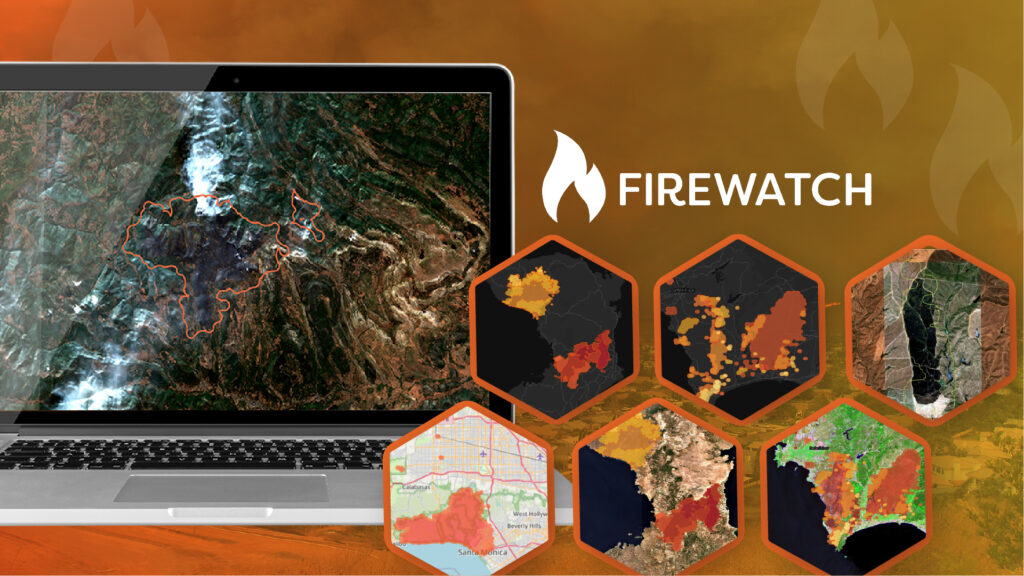
In the face of this mounting wildfire threat, technological advancements have offered a glimmer of hope. Satellite data has emerged as a crucial tool in helping to predict areas at most risk of wildfires, and then monitoring their spread, intensity and impact.
With an ability to provide near real-time imagery, satellites help detect wildfires at their inception. When combined with accurate weather forecasts, this enables faster response times for firefighters and emergency services.
Satellite-based remote sensing allows for near-continuous monitoring of fire-prone areas, providing valuable information about fire spread, intensity, and direction. By integrating various satellite data sources and ground-based measurements, scientists and authorities can better predict the behaviour of wildfires, aiding in evacuation efforts and resource allocation.
Geospatial Insight have been supplying risk intelligence services to the Insurance sector for a number of years, accessing multiple streams of satellite imagery and deriving accurate data related to the specific requirements of insurance/reinsurance sector clients.
By incorporating near real-time wildfire prediction and monitoring into their risk assessment models, insurance companies can make informed decisions regarding underwriting and pricing policies. This proactive approach allows them to better prepare for potential wildfire-related claims, ensuring prompt and efficient support for their customers during times of crisis.
The rise in wildfire activity in Canada, Italy, Spain, and Greece demands urgent action. The impact on air quality, public health, and property makes it essential for authorities, researchers, and insurers to work together and utilize satellite data and other technological advances to combat this global crisis effectively.
As we continue to learn from the past and leverage cutting-edge tools, we move closer to a future where wildfires pose less risk to communities and ecosystems, fostering a more sustainable and resilient world.