Drone Imagery

Geospatial Insight has developed a truly international partner network of specialist drone operators, all of whom work to agreed standard operating procedures and service level agreements to ensure that imagery is acquired rapidly and to a high quality, wherever and whenever these services are activated. All operators are fully qualified to CAA (or equivalent in-country)…

Service


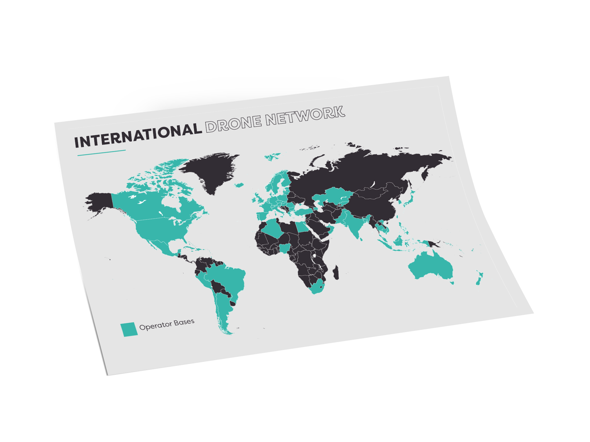
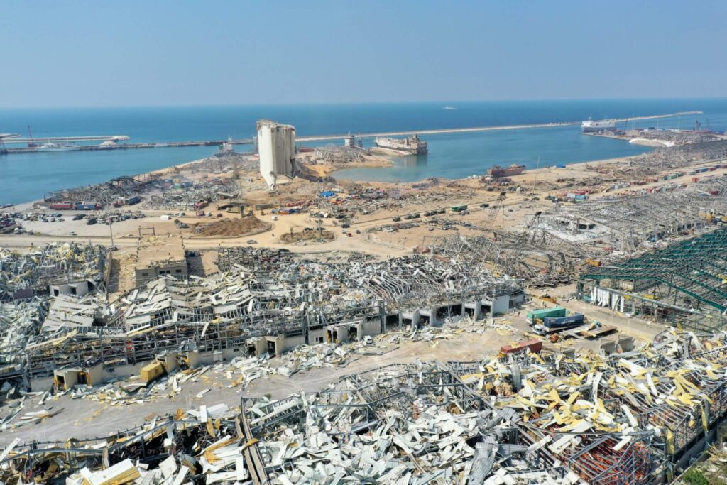
Drone flights can be rapidly commissioned to acquire high quality, highly detailed imagery for your specific target locations, with the output ready to view in a spatial context through our VIP platform. Drone footage can be commissioned for a variety of applications – at Geospatial Insight one such application is disaster response, where we capture imagery support our (RE)ACT service.

Ready to get in touch?

Benefits

Rapid Deployment

Drone deployed with 24 hours of commission

Very High-Resolution Imagery

Exceptional quality imagery and video coverage

Flexible Data Capture

Ability to fly below cloud cover

Enhances Survey Efficiency

Offers rapid access to key locations and at times when ground access may be challenging

Case Studies

Beirut Explosion

On August 4th 2020 a vast mushroom cloud hung over the city of Beirut, created…

FIND OUT MORE

Check out the Latest Insights and Updates from the Geospatial Insight Team

Learn More

Request a demo

Fill The Form Out Below And One Of Our Sales People Will Be In Touch Shortly

Interested In Buying Our Products?

Fill The Form Out Below And One Of Our Sales People Will Be In Touch Shortly