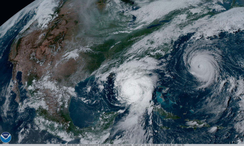
 Due to their destructiveness and local nature, these events also highlighted some of the critical benefits of our Visual Intelligence service: namely, the ability to manoeuvre in difficult conditions.
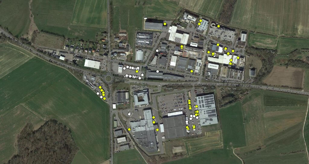
In this case, we provided critical proof-of-concept for our in-house drone programme, in which we deploy chartered drones to provide detailed insights into flooding and damage. We consider the data we collect using drones to be immensely useful: it allows identification and measurement of objects less than 1 centimetre in size, producing highly sensitive evidence for the insurance claims process.
This accuracy and flexibility is even more powerful in a city like York, which is defined in part by its Medieval architecture. Challenging features include miles of narrow alleyways and the incidence of “jettied” buildings, which jut out above roads and partially obscure ground level areas.
“We took the opportunity to provide proof-of-concept for our drone programme. We were not disappointed.”
Dave Fox, CEO
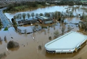
We took the opportunity to show how powerful our drone programme can be in these circumstnaces. As part of our rapid response, we scheduled drone overflights for the day of peak flooding in York, 27th December, ran analyses overnight and conducted ground checks the next day as verification for our clients.
Our programme did not disappoint. Even with the need to alter flight paths to accommodate emergency services and the rapid deployment of social media scraping to supplement our visual data, our analytics produced assessments that were spot-on for accuracy and visual clarity.
It was a horribly destructive event, but one which demonstrated the operational capability, analytical sophistication, and rapid response capabilities of the Geospatial Insight Visual Intelligence service.
From York to around the world, Medieval architecture to modern, we can respond, adapt, and deliver the Visual Intelligence enables our clients to truly stand out in the assessment and claims department.