Video
Our GIS video collection brings together tutorials, demos and walkthroughs designed to help you explore geospatial workflows, understand key tools and see our solutions in action. It’s a quick way to learn, discover new features and follow practical guidance at your own pace.
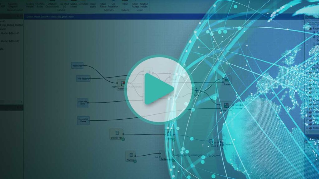
ERDAS IMAGINE Automate NDVI Workflow
A quick tutorial video describing how to add automation to an NDVI model and create…
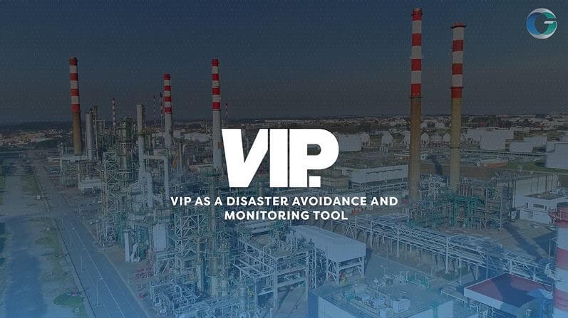
VIP Norilsk Oil Spills
An overview of our visualisation platform – VIP, as a disaster avoidance and monitoring tool.

Insurance CAT Capabilities
Find out how Geospatial Insight are leveraging innovations in drone, satellite and aerial imagery to…

How to Use Port Inputs in ERDAS IMAGINE
A quick tutorial video demonstrating how to use port inputs within the spatial modeler tool…

Air Analytics Mobile Routing Demonstration
A quick demonstration of our Breathe Clean Service, allowing the user to plan a route…
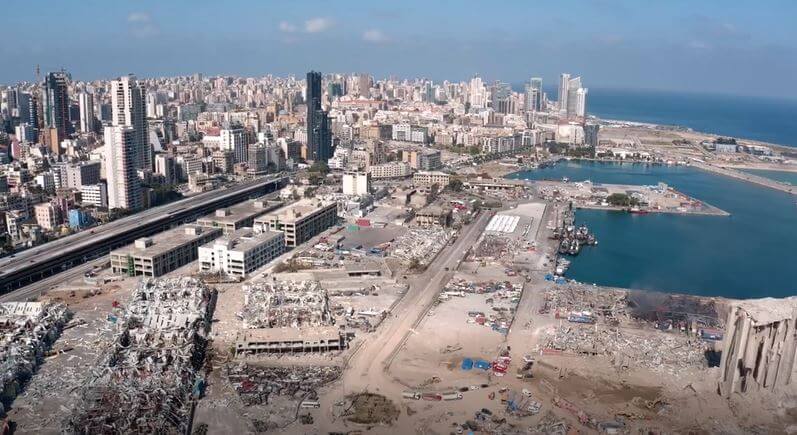
Beirut CAT Response
The drone imagery from a commissioned flight over Beirut, collecting visual evidence to complete a…
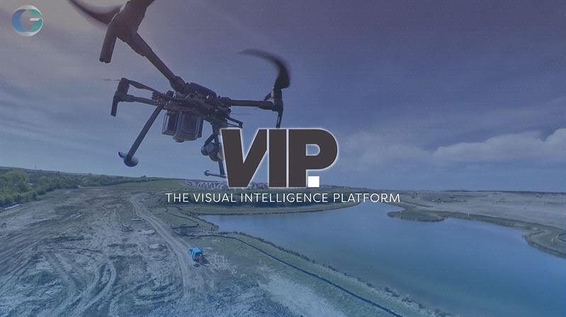
An Introduction to VIP
An overview of our visualisation platform – VIP

How to Create an NDVI Dataset in ERDAS IMAGINE
A quick tutorial video explaining how to produce an NDVI data set in Hexagon Geospatial…