As Flood Re celebrates its tenth anniversary, Geospatial Insight is proud to mark a decade of partnership supporting one of the UK’s most important initiatives for improving flood insurance affordability and resilience.
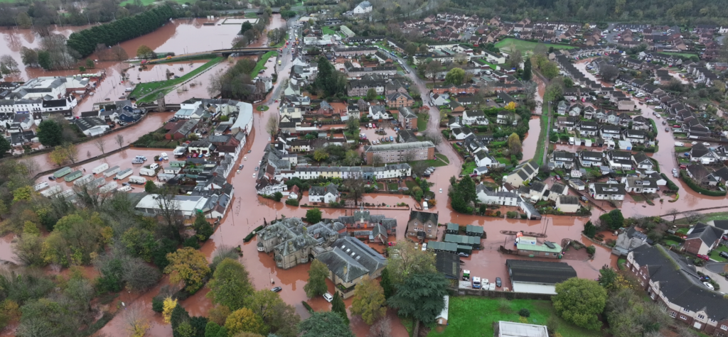
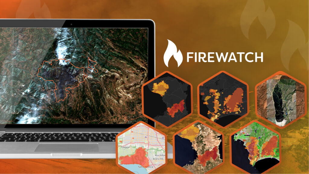
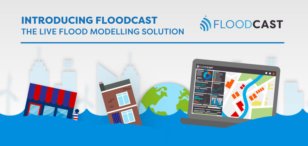
Since Flood Re was established in 2016, Geospatial Insight has worked alongside the organisation to provide critical geospatial intelligence that helps inform decision-making before, during and after flood events. Over the past ten years, our technology and expertise have supported Flood Re through flood warning services, 24/7/365 rapid drone deployment and rapid property damage assessment, helping deliver timely, data-driven insights.
“Working with the team there, we are incredibly proud to have supported Flood Re throughout its first decade,” said Paul Fearn, CEO at Geospatial Insight. “Flood Re has transformed access to affordable flood insurance for hundreds of thousands of households across the UK, and we’re honoured that our geospatial analytics have helped support that mission. As flood risk continues to evolve, trusted data and actionable insights will become even more important in building a more resilient future.”
Throughout the partnership, Geospatial Insight has provided:
- Flood warning intelligence to help anticipate and monitor flood events.
- Rapid on-call drone deployment to capture flood extents
- Property damage assessment using advanced geospatial analytics to rapidly evaluate flood impacts following events.
- Platform access to manage, visualise and analyse critical geospatial data
The partnership reflects a shared commitment to improving flood resilience through innovation and evidence-based decision making. As Flood Re enters its second decade, Geospatial Insight looks forward to continuing the partnership and supporting the industry’s transition towards a more resilient future.
For further information:
Contact our marketing team at [email protected]