Services
As a Hexagon UK Platinum Partner, we deliver world class software, training and consultancy, allowing our clients to transform raw data into geospatial information, manage data catalogues, and deliver targeted applications designed to solve their specific business needs.
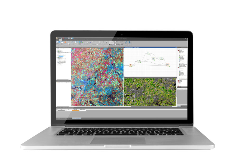
At the heart of the desktop products is ERDAS IMAGINE, the world leading comprehensive image analysis suite, combining remote sensing, photogrammetry, lidar analysis, vector analysis, and radar processing into one product.
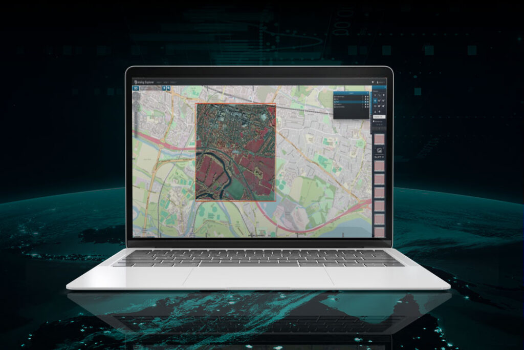
The M.App Enterprise platform enables the creation of visual applications, storing geospatial data and providing the dynamic delivery of geospatial analytics and workflows to enhance business intelligence. ERDAS APOLLO is an extensive data management, analysis and delivery system allowing data to be distributed from the cloud or an in-house server.
Ready to get in touch?


