Risk Management
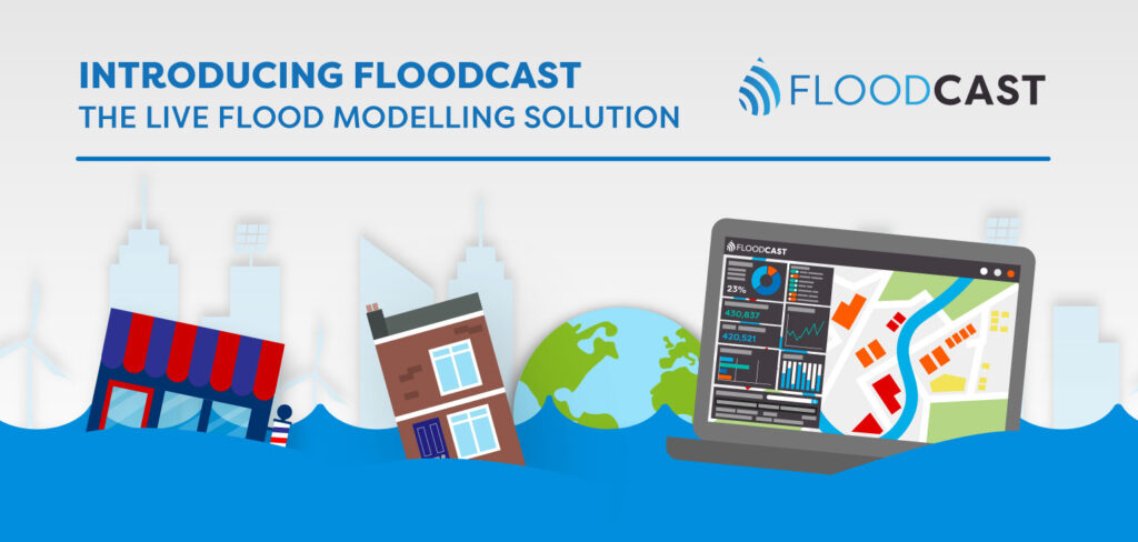
As a risk event emerges and develops, rapid and accurate information is critical. Geospatial Insight’s unprecedented risk management solutions deliver the intelligence needed to minimise impacts, save lives and reduce damage costs.
By integrating satellite imagery, ultra-rapid modelling and live data feeds, organisations gain real-time visibility of floods and wildfires, as they unfold.
This intelligence drives rapid, informed action to protect infrastructure and property, safeguard supply chains and minimise damage to society as a whole. Ongoing monitoring supports and strengthens resilience strategies, ensuring efficiency, compliance and sustainability are maintained even in the most at risk environments.
Solutions
Check out our Risk Management Solutions