News
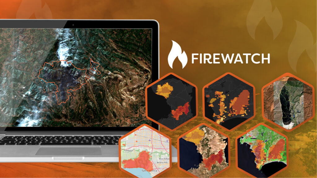
Geospatial Insight Introduces FireWatch: The Next Generation of Wildfire Prediction and Monitoring
Geospatial Insight has launched FireWatch, a wildfire prediction and monitoring platform that delivers near real-time…
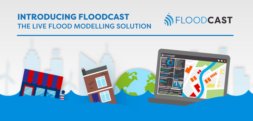
Introducing FloodCast: The Live Flood Monitoring Solution Infographic
Discover how FloodCast applies advanced flood modelling in our latest infographic, showcasing near real-time data…
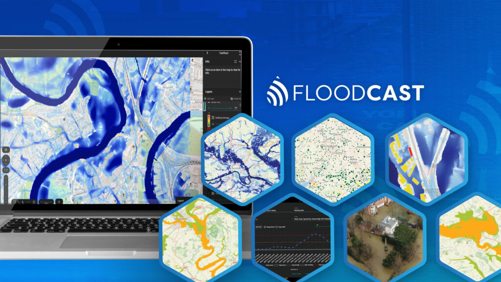
Geospatial Insight Launches New Flood Prediction API
Geospatial Insight has launched FloodCast, an advanced flood prediction API that delivers rapid, high-accuracy forecasts…
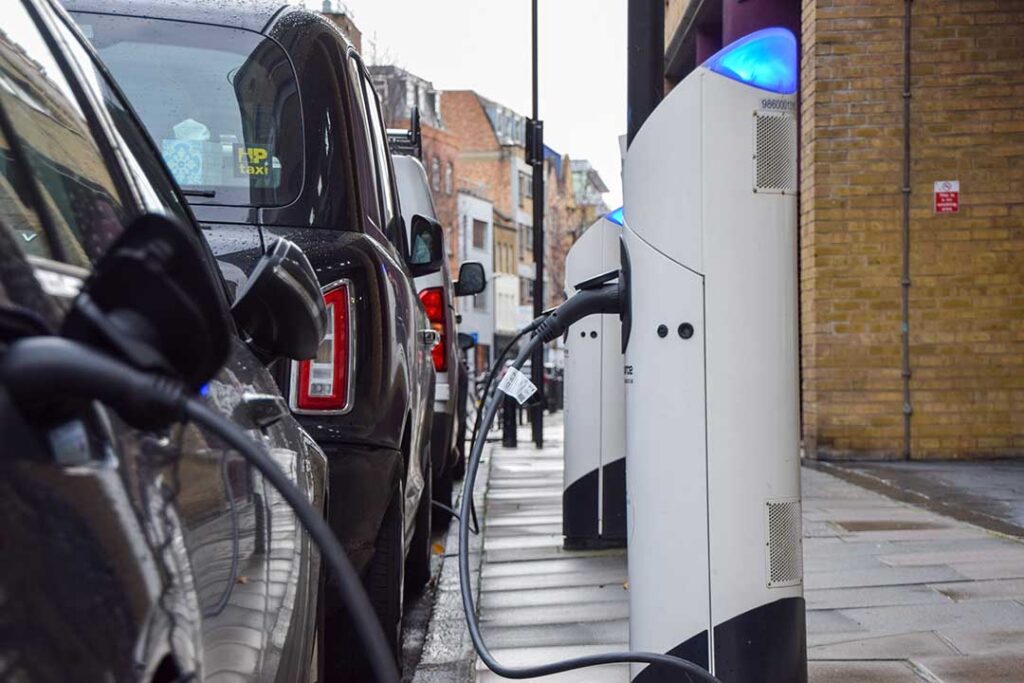
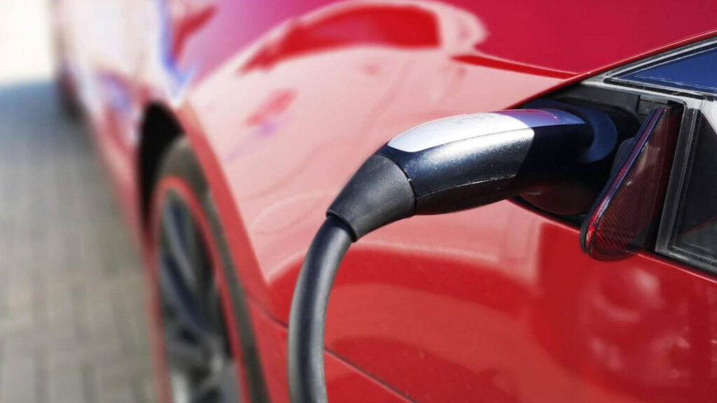
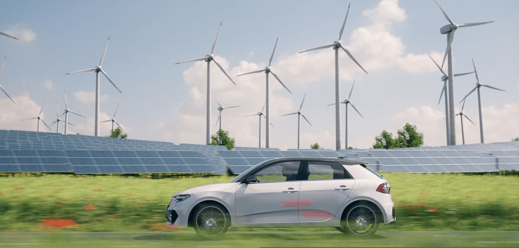
State of UK EVs: Geospatial Analysis & Challenges
The UK’s EV adoption is growing, but infrastructure struggles. Geospatial tools like LOCATE EV help…
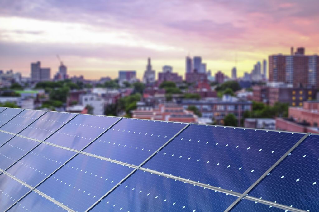
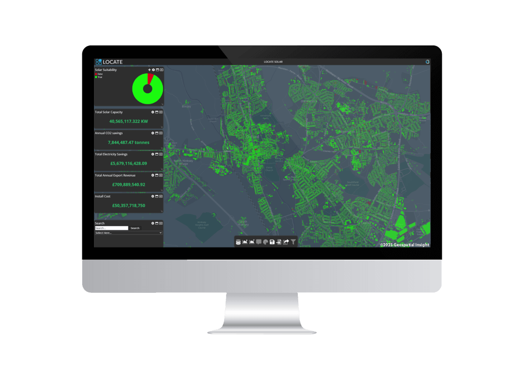
Transforming Solar Adoption with LOCATE SOLAR
As governments set ambitious carbon reduction goals, accurately assessing solar potential remains complex due to…
New Geospatial Platform Maps UK Solar Landscape
Geospatial Insight, the UK’s leading provider of clean energy geospatial solutions and Bluesky International, the…

New Geospatial Database Boosts UK Building Decarbonisation
Geospatial Insight, the UK’s leading provider of clean energy geospatial solutions, announces the launch of…
Rooftop Solar Database Updates Unlock Financial Benefits
Geospatial Insight, the UK’s leading provider of clean energy geospatial solutions, announces the rollout of…
LOCATE EV 2024 Release Supports Untapped ChargePoint Opportunities
The leading EV network planning platform, LOCATE EV 2024 release, is now available. Developed by…
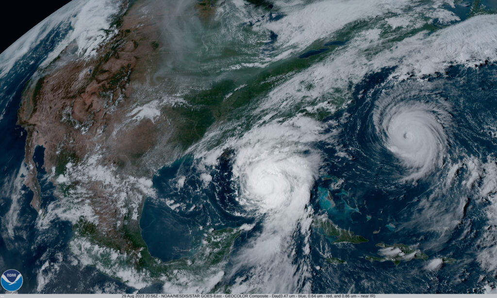
Above normal 2024 Atlantic hurricane season predicted by NOAA
The National Oceanic and Atmospheric Administration (NOAA), one of the leading scientific authorities on oceans,…
Char.gy and Geospatial Insight Partner to Transform EV Infrastructure
Char.gy and Geospatial Insight have officially joined forces to leverage the power of LOCATE EV,…

Zapmap Data Now on LOCATE EV for EV Planning
Geospatial Insight, a prominent provider of clean energy geospatial solutions in the UK, and Zapmap,…
What’s New in M.App Enterprise?
Update 2 for M.App Enterprise 2023 has just been released. As well as a few…

New UK Charging Regulations Set to be Revolutionised
On October 24th, 2023, a milestone was achieved in the UK’s journey towards EV adoption.…
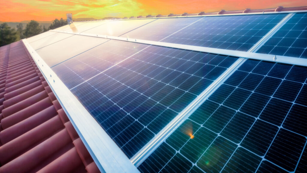
LOCATE SOLAR® Database Expands to Encompass Scotland and Wales
Geospatial Insight, the UK’s leading provider of clean energy geospatial solutions behind LOCATE SOLAR, proudly…