Aerial Imagery

Our network of highly skilled aerial survey partners gives us rapid access to high-quality imagery and other data options (e.g. lidar) acquired by conventional aerial survey platforms.

Service


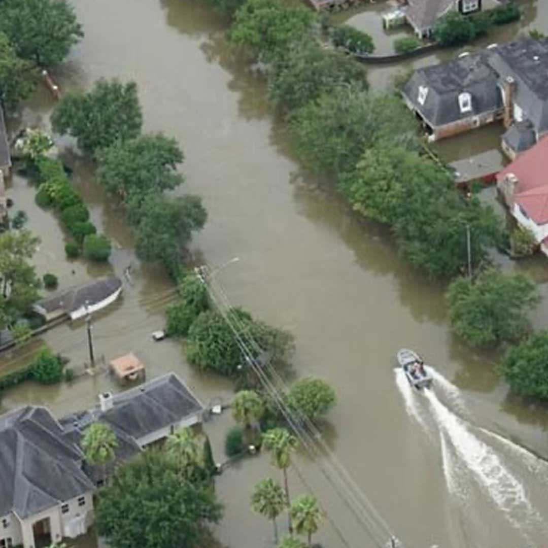
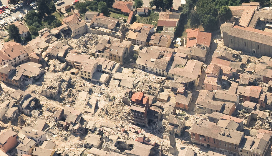
Our partnership model is optimised to ensure that data is acquired rapidly and to a high standard. The acquired imagery can then be made available to visualise and share, alongside other datasets and client-relevant data, via our browser-based online platforms. In addition, we offer value add analysis and assessment services for a range of applications including mapping, land cover assessment and rapid response of damage assessment caused by catastrophic events.

Ready to get in touch?

Benefits

Synoptic View

Gain a comprehensive, but highly detailed, overview of wide target areas

On Demand Imagery

Imagery collection is targeted on the timeframes and specific locations required

High Resolution

Detailed imagery with high geospatial accuracy

Case Studies

Earthquake Pescara Del Tronto, Italy

When a 6.2 magnitude earthquake hit central Italy on 24th August 2016, it forced thousands…

FIND OUT MORE

Check out the Latest Insights and Updates from the Geospatial Insight Team

Learn More

Request a demo

Fill The Form Out Below And One Of Our Sales People Will Be In Touch Shortly

Interested In Buying Our Products?

Fill The Form Out Below And One Of Our Sales People Will Be In Touch Shortly