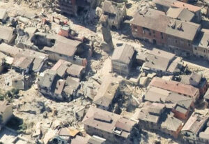
 With the literal shock of an earthquake’s impact, a rapid and flexible response is crucial – especially in areas where roads and key infrastructure have experienced significant damage.
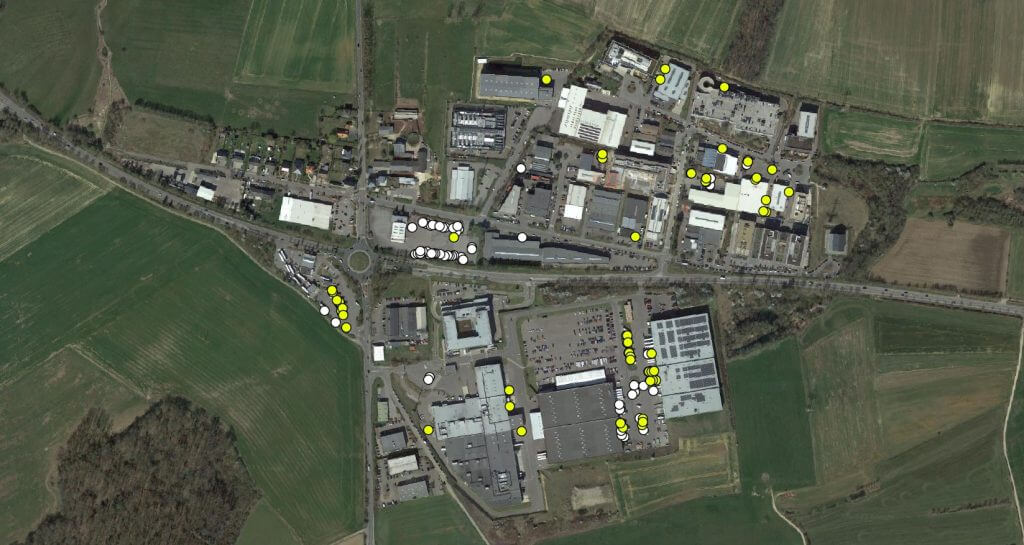
Our highly adaptive technology and mission control experience helps Geospatial Insight deliver an optimised programme for rapid response, analysis, and assessment for any given event. Our process involves close assessment of our client’s needs and properties, identifying optimal data sources and analytics and managing the realities of key logistical challenges.
“The devastation in central Italy illustrated the significant limitations of traditional data-gathering methods.”
Dave Fox, CEO
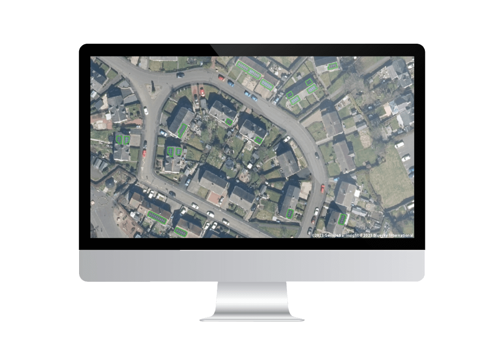
For example, central Italy’s hilly terrain, Medieval architecture and road damage would lend itself well to drone operations, but local airspace was urgently needed for emergency services. As such, Geospatial Insight commissioned an aircraft equipped with cameras at multiple vantage points to provide 3-dimensional assessments of damage to individual properties. We filled the gaps in our footage with geolocated images scraped from social and traditional media outlets to provide a clear picture of damage to all affected properties.
But we provided still more: a thorough analytical process the delivered qualitative descriptions of damage on a scale used by our client for earthquake assessments. Our technology could quite literally take the visual imagery we collected and develop a scaled assessment of damage levels for individual properties.
We provided these insights within days, offering our client the ability to:
- Predict the potential extent of damage due to the earthquake
- Readily develop estimates of likely claims sizes and total loss estimates
- Objectively and accurately verify claims
Geospatial Insight thus helps insurers transform claims assessment into an innovative and effective part of their business strategy.