How to Subset by Shapefile in ERDAS IMAGINE
A quick tutorial walking through how to clip data by a shapefile (.shp) in Hexagon Geospatial ERDAS IMAGINE’s software, specifically using the spatial modeller and paying attention to reducing data size
Related Articles
Check out More of our Related Posts Below...
ERDAS IMAGINE 2023 Update 2 Release Guide
The ERDAS IMAGINE 2023 Update 2 Release Guide contains everything you need to know about…

Style Meets Substance: Advance Imaging in ERDAS APOLLO v2023.4
A quick tutorial video explaining how to use SAR data in Hexagon Geospatial ERDAS IMAGINE…
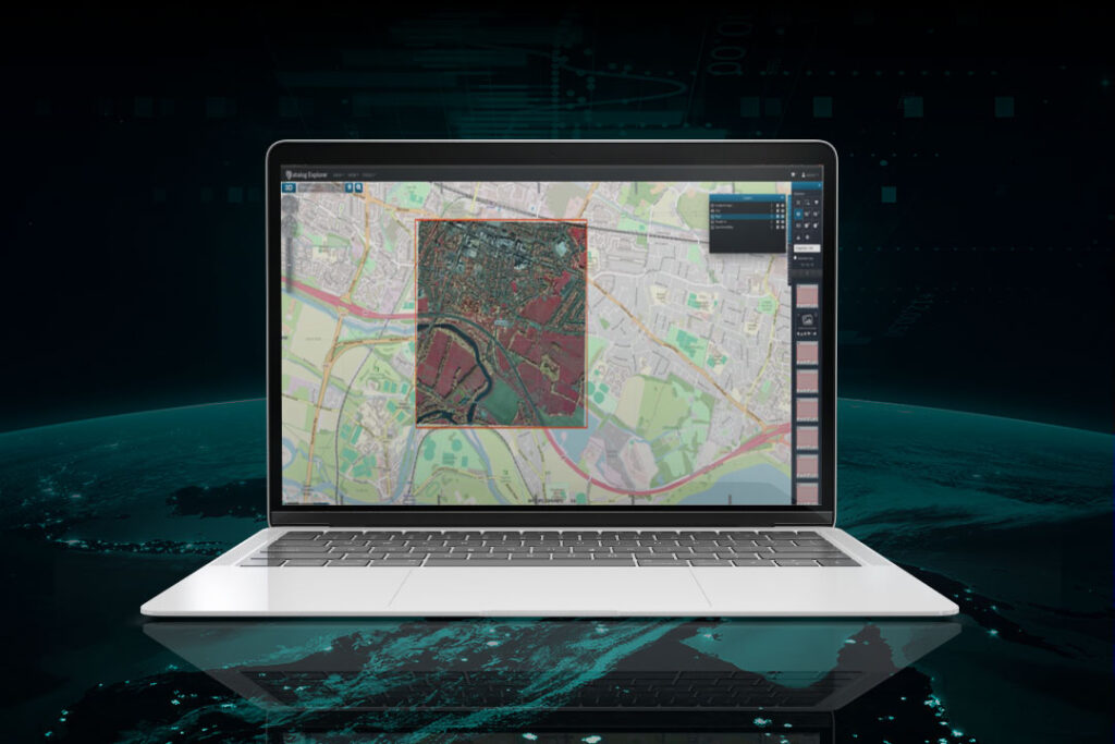
ERDAS APOLLO 2023
ERDAS APOLLO 2023 revolutionises geospatial data management with automated tagging, fast search, and real-time alerts—ensuring…