JohnnieS
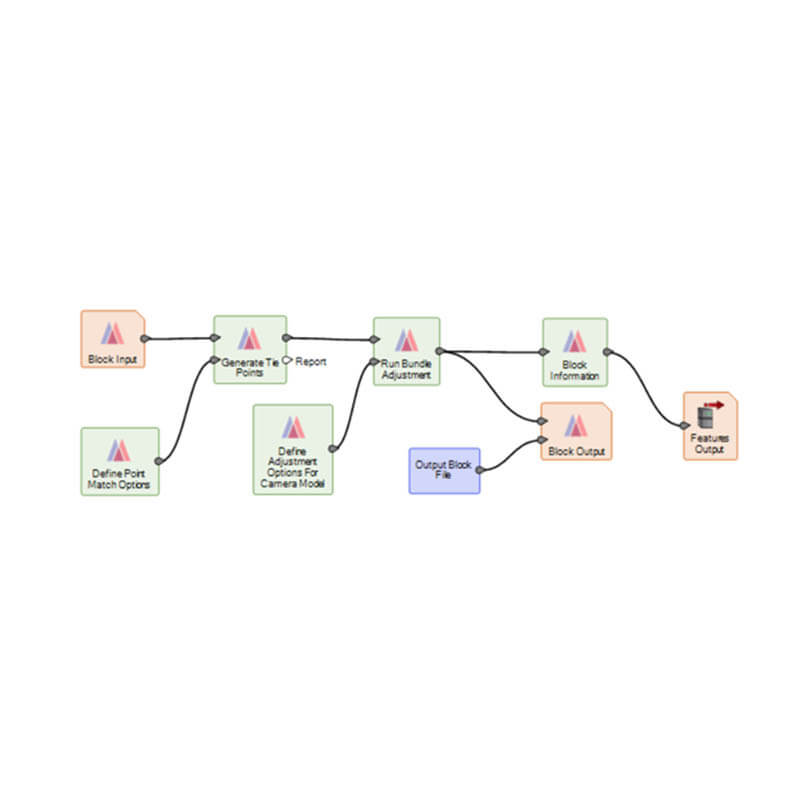
A quick tutorial video explaining how to discover the functionalities of User Operator in Spatial Model in Hexagon Geospatial ERDAS IMAGINE software
Monitoring African elephants for conservation
A ‘Research in Education’ case study, documenting a recent investigation from one of our academic…
Remote sensing of London’s urban heat island
A ‘Research in Education’ case study, documenting a recent investigation from one of our academic…
ERDAS IMAGINE 2020 Update 2
This month sees the release of UPDATE 2 for ERDAS Imagine 2020. This is an…
ERDAS IMAGINE update 2 has arrived
This month sees the release of UPDATE 2 for ERDAS Imagine 2020. This is an…


