News

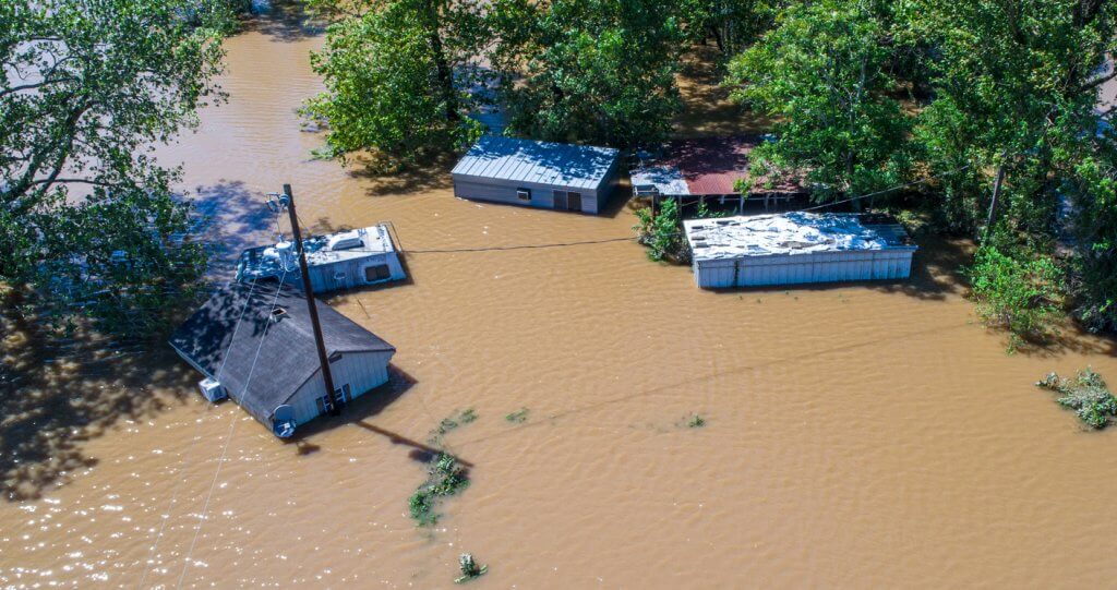
Hurricane Ike – 10 years on
Since Hurricane Ike, technology has evolved to help insurers improve their insight into the risk…
Queensland Floods
When the Australian state of Queensland was hit by an unprecedented period of monsoon rainfall,…
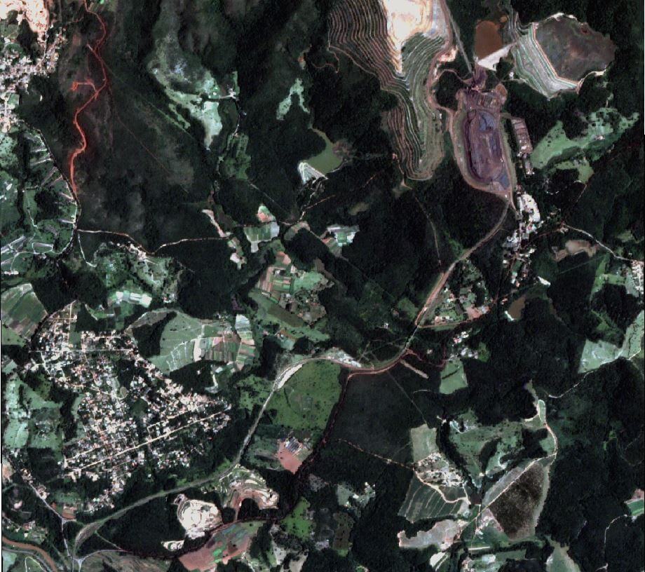
Deja vu – Brumadinho and Mariana dam disasters
Last year, we released a Youtube video on the collapse and possible causes of the…
How visual evidence and AI technology are transforming risk management
Sophisticated imagery technology is giving companies and insurers unprecedented access to real-time data and situation…
9 ways visual intelligence can benefit claims management
Check out our that solution allows for rapid response to claims, accessing remote and hazardous…
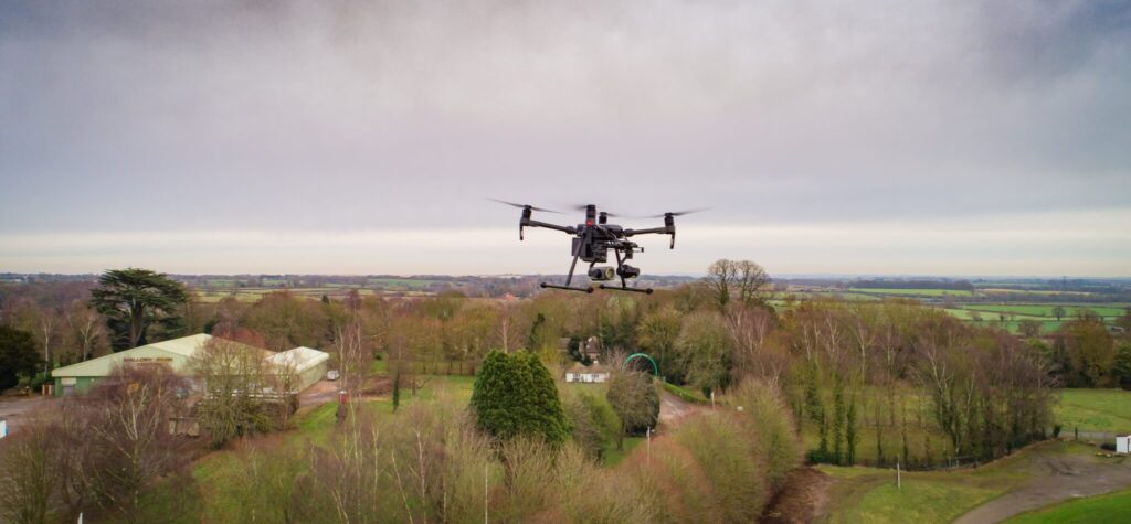
Risk management from space
Dave Fox, Chief Executive Officer at Geospatial Insight, explains how satellite and drone technology have…
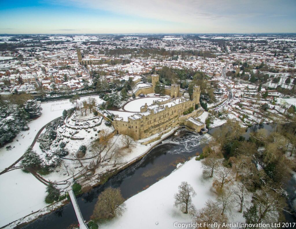
Geospatial Insight Invests in Firefly AI Drone Company
At Geospatial Insight we are continually growing our client base, particularly in the insurance sector…

ERDAS IMAGINE update 2 has arrived
This month sees the release of UPDATE 2 for ERDAS Imagine 2020. This is an…

Embracing alternative data: a three-stage approach for portfolio managers
In the quest for alpha, a growing number of portfolio managers have been exploring the…

Geospatial Insight launches breath clean
Geospatial Insight is delighted to announce that our brand new Breathe Clean application is being…

Geospatial Insight becomes a GB premium partner for Hexagon Geospatial
Geospatial Insight is delighted to become the newest GB Premium Partner for Hexagon Geospatial. We…

Geospatial Insight Selected for PwC InsurTech Scale-Up
Geospatial Insight has been selected as one of nine of the brightest international InsurTech businesses.…

ESA Backs Geospatial Insight & Deimos Space Project
Geospatial Insight and Deimos Space UK granted funding from European Space Agency to develop improved…

Geospatial Insight Wins UK Space Agency Pollution Project
Geospatial Insight has been awarded one of eight new projects as part of the UK…

Geospatial Insight partners with GHGSAT
Geospatial Insight has been awarded one of eight new projects as part of the UK…