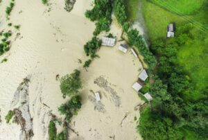
The first signs of flooding were detected on 14th March after a combination of rain, melting snow and ice jams pummelled the Mid-West. As rivers started to overflow, evacuation orders were issued across Nebraska, Iowa, South Dakota, Wisconsin and Minnesota, with many rivers reaching record levels. About 200 miles of levees along the Missouri River have been breached, according to the U.S. Army Corps of Engineers. In Nebraska more than 300 people have been rescued by Nebraska State Patrol, National Guard troops and urban search and rescue teams. The total number of evacuees is not yet known but is estimated to be in the thousands. The floods have left a trail of destruction in their wake, from livestock to the state highway system, where the Nebraskan Department of Transportation said more than 200 miles of roadways needed repair or replacement.
IMAGES SCRAPED FROM SOCIAL MEDIA AND NEWS SITES OFTEN PROVIDE AN INVALUABLE SOURCE OF VISUAL INTELLIGENCE THAT CAN BUILD A BETTER PICTURE OF THE GROUND SITUATION DURING AND AFTER THE EVENT.
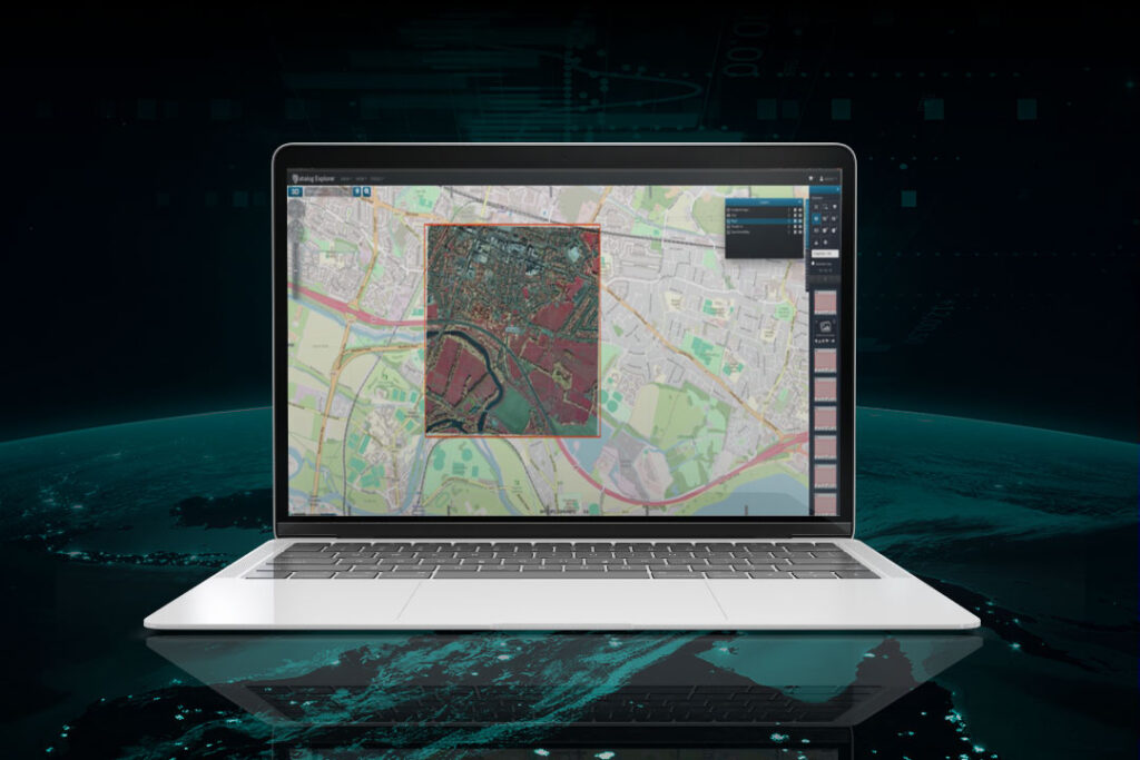
Geospatial Insight have conducted a range of analysis following widespread flooding across the US Mid-West; with a summary of key deliverables outlined below. All outputs will be delivered as both physical data files (ESRI shapefiles, Geojson, Tiff etc.) and via Geospatial Insight’s secure and easy to use browser-based Visual Intelligence Portal.
A flood footprint has been generated through a combination of automated and manual techniques, derived from multiple imagery sources where available including: optical satellite imagery, radar satellite imagery, aerial imagery, drone imagery and intelligence derived from social media analysis and aggregation; delivered as an ESRI shapefile and via the VIP platform.
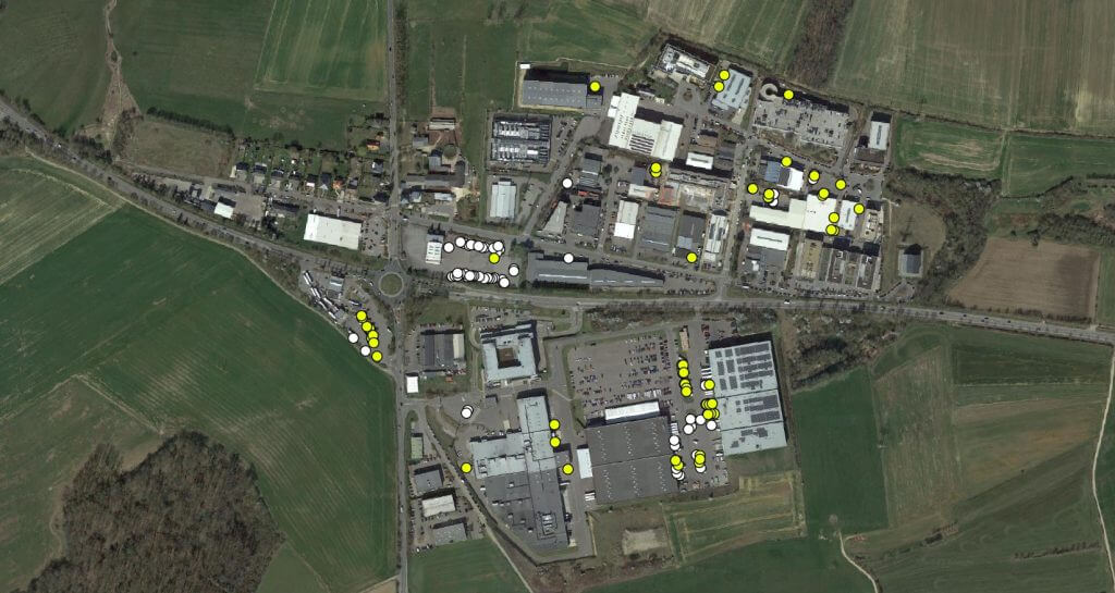
Flood depth estimates have been derived from the results of the flood extent footprint mapping, differenced across a high resolution Digital Elevation Model (DEM) of the impacted area; delivered as a geotif raster. Due to the large coverage of the flooding in the various states our flood depth extraction has been limited to the following locations; Omaha, NE, Freemont, NE, Plattsmouth, NE, Blair, NE and Sioux City, IA.
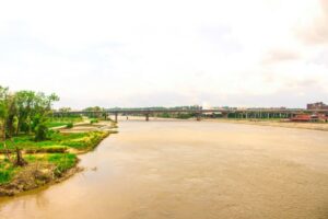 Images scraped from social media and news sites often provide an invaluable source of visual intelligence that can build a better picture of the ground situation during and after the event. Whilst this data can be spatially patchy, it often provides granular levels of detail that can reveal insights not available from traditional image sources such as satellite, aerial and drone imagery. This data has been anonymised to allow unfettered use.
Geospatial Insight have developed strong relationships with the world’s leading satellite data providers including DigitalGlobe, Airbus, Planet, SuperView, and Urthecast. As Geospatial Insight is not tied to any exclusivity agreements with satellite data providers, recommendations for data acquisition are always based on objectivity and flexibility; with the client receiving the most appropriate data for the task in hand. Geospatial Insight also have access to highly qualified commercial drone operators and aerial acquisition pilots across the Unites States’ Mid-West . Accordingly, Geospatial Insight can provide a price for tasked aerial and drone imagery, as well as tasked satellite acquisition on request.