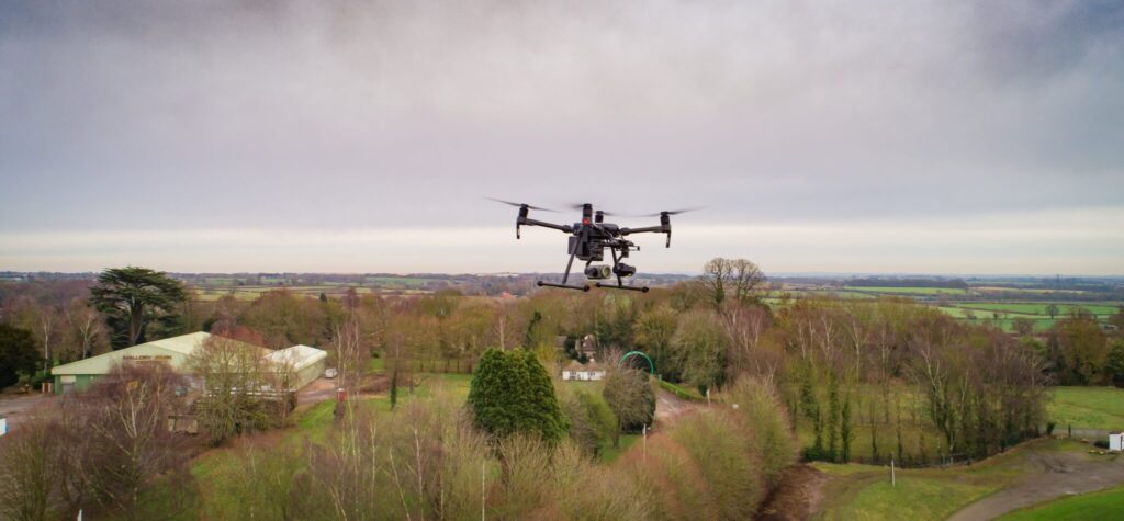
Drone Imagery
Our drone imagery services deliver high-resolution aerial data for asset monitoring, disaster response, and detailed site assessments.
Risk management from space
Dave Fox, Chief Executive Officer at Geospatial Insight, explains how satellite and drone technology have…

Geospatial Insight Invests in Firefly AI Drone Company
At Geospatial Insight we are continually growing our client base, particularly in the insurance sector…
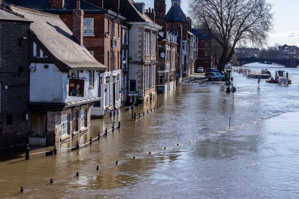
Storm Eva – UK floods
Between Storms Desmond, Eva and Frank, the month of December 2015 was Britain’s wettest in…