Software & Data
Identifying the best-in-class geospatial software and imagery are essential to the successful delivery of a project. We have developed a comprehensive partner network of Earth observation satellite operators, aerial survey specialists, drone pilots and data providers, allowing us to ensure that the optimal data is selected for a given task. This enables us to provide our clients with expert advice to select the best data sources, processing methods and analytical techniques to meet their business requirements
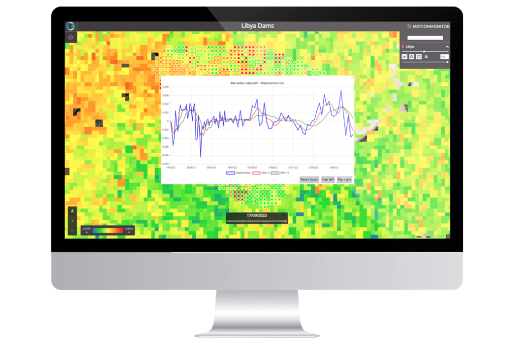
As a Hexagon UK Platinum Partner, with decades of experience using their geospatial portfolio, we are ideally placed to offer expert advice on their solutions. By utilising both Hexagon technologies and our own proprietary visualisation platform we deliver online customised services. This integrated approach ensures we deliver the right tools to solve specific business problems.
Our Partners
Solutions


