Hexagon
Automate NDVI Workflow in ERDAS IMAGINE Continued
A follow to our previous quick tutorial, showing you how to create your own directory…
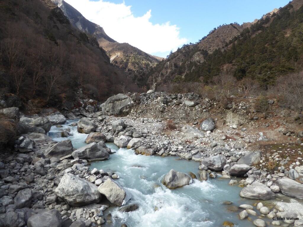
High-resolution 3D mapping in Nepal
Scientists and students at the University of Leeds use IMAGINE Photogrammetry* to generate high-resolution elevation…
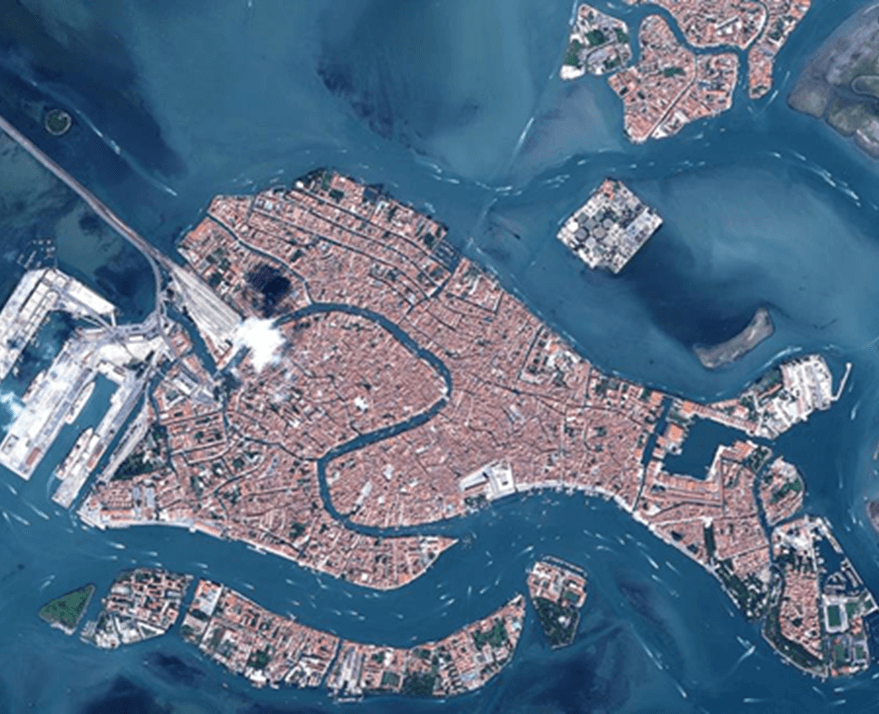
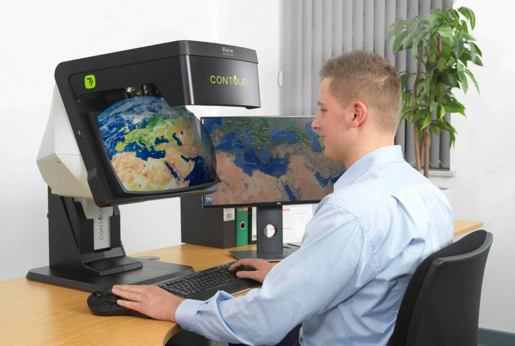
Impact of Hexagon’s M.App Enterprise on Maritime GEOINT
As hydrology is the study of the distribution and movement of water both on and…
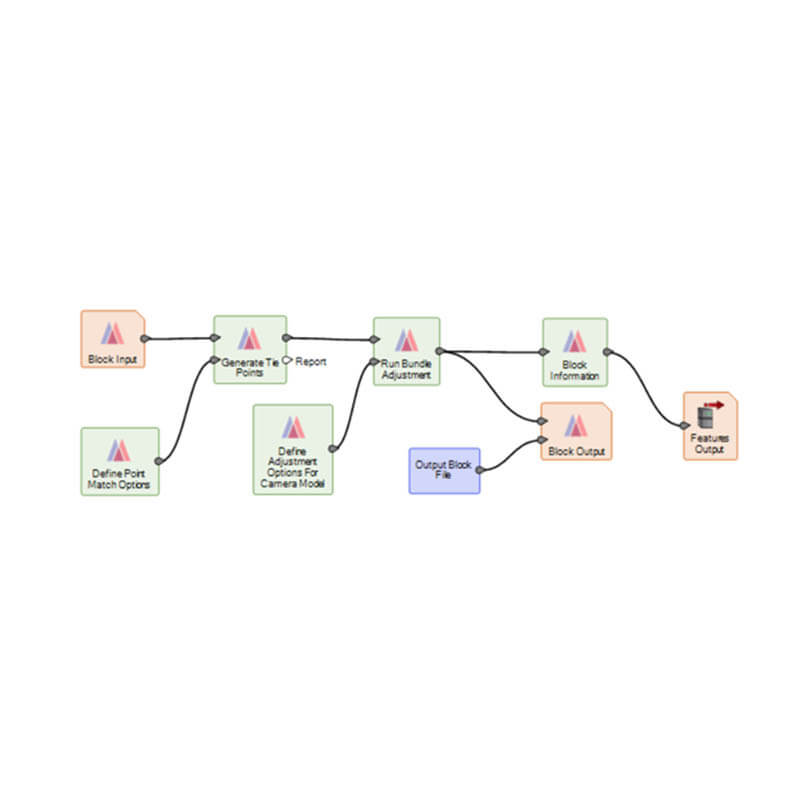
ERDAS IMAGINE 2020 update 3
Barely have we installed Update 2 of ERDAS IMAGINE, released at the end of last…
ERDAS IMAGINE Automate NDVI Workflow
A quick tutorial video describing how to add automation to an NDVI model and create…
Monitoring African elephants for conservation
A ‘Research in Education’ case study, documenting a recent investigation from one of our academic…
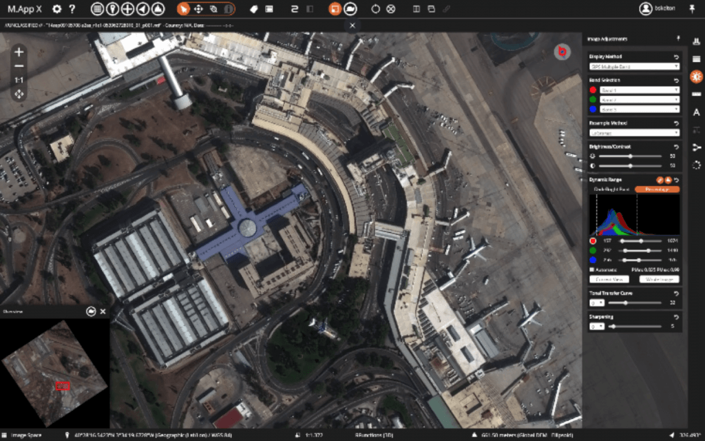
M.App X – A revolutionary solution for GEOINT users
Hexagon Geospatial’s M.App Enterprise provides a unified geospatial platform that enables users to create applications…
Cloud-based geo-processing comes to universities
Part of our role as a Platinum Partner of Hexagon Geospatial is to promote the…
How to Use Port Inputs in ERDAS IMAGINE
A quick tutorial video demonstrating how to use port inputs within the spatial modeler tool…
Remote sensing of London’s urban heat island
A ‘Research in Education’ case study, documenting a recent investigation from one of our academic…
Powerful partnership for 3D analysis
Using a data-driven approach, is there another way to gather up-to-date information without putting the…
ERDAS IMAGINE 2020 Update 2
This month sees the release of UPDATE 2 for ERDAS Imagine 2020. This is an…
How to Create an NDVI Dataset in ERDAS IMAGINE
A quick tutorial video explaining how to produce an NDVI data set in Hexagon Geospatial…
ERDAS IMAGINE update 2 has arrived
This month sees the release of UPDATE 2 for ERDAS Imagine 2020. This is an…
Geospatial Insight becomes a GB premium partner for Hexagon Geospatial
Geospatial Insight is delighted to become the newest GB Premium Partner for Hexagon Geospatial. We…
