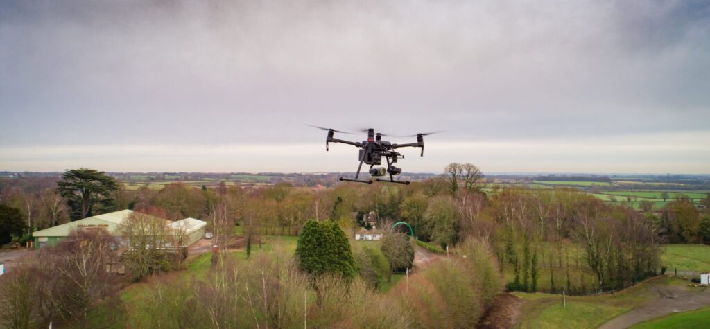
Aerial Imagery
Capture high-resolution aerial imagery using drones and aircraft. Support surveys, asset monitoring, and disaster response with detailed visual data.
Risk management from space
Dave Fox, Chief Executive Officer at Geospatial Insight, explains how satellite and drone technology have…
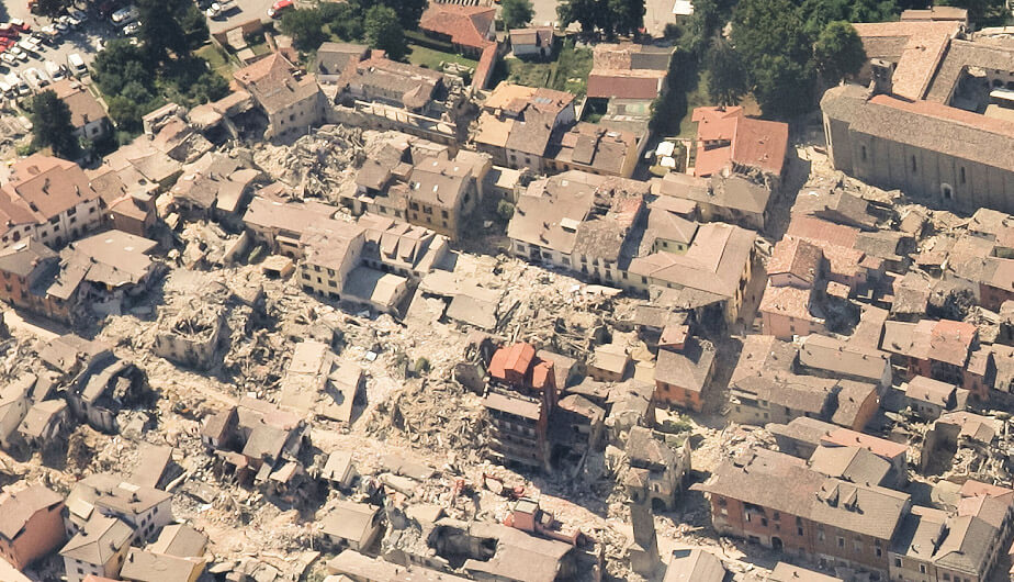
Earthquake Pescara Del Tronto, Italy
When a 6.2 magnitude earthquake hit central Italy on 24th August 2016, it forced thousands…
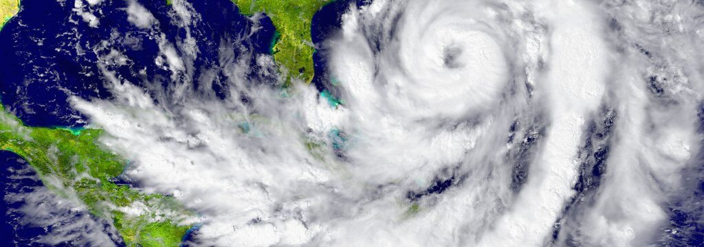
Hurricanes Harvey and Irma
Hurricane Harvey had a catastrophic effect on Houston and its surrounds, displacing approximately 1 million…