Amongst other innovative enhancements, this release brings with it a new feature set to enhance the way we approach geospatial analysis: the seamless integration of Google Earth Engine (GEE) into the Spatial Modeler. What exactly does this landmark change mean for ERDAS IMAGINE?
The Potential of Google Earth Engine
Firstly, let’s take a moment to truly understand the significance of Google Earth Engine. This platform is a treasure trove for geospatial analysts. It grants access to an impressive collection of over 900 geospatial datasets, including historical imagery from renowned sources like Landsat, Sentinel, and MODIS.
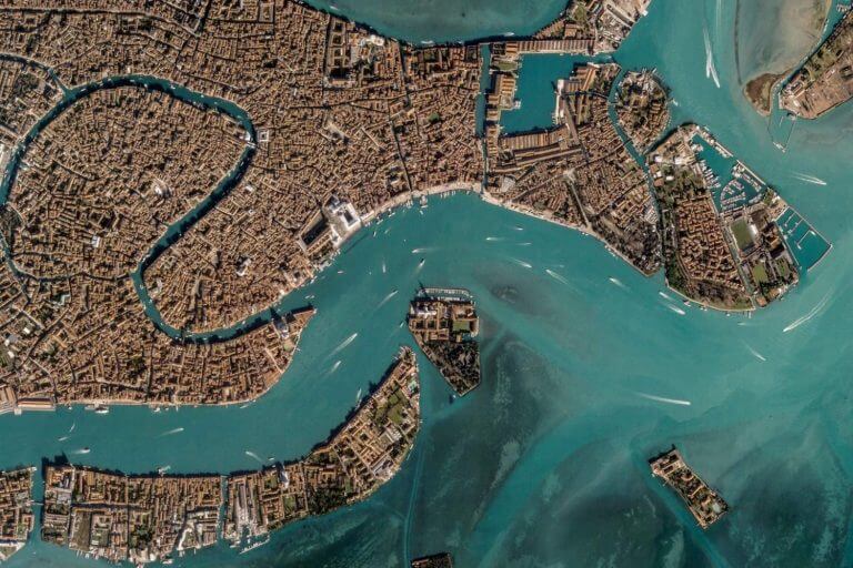
©Planet Labs PBC, CC BY-NC-SA 2.0
However, one major hurdle has limited its accessibility and effectiveness for many analysts – the need for coding skills. GEE relies on the user having a fundamental understanding of coding languages. Those without these skills are unable to maximise the massive potential and outcomes of such an unprecedent catalogue.
Seamless Integration for Simplified Workflows
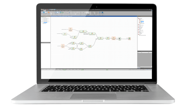
The seamless integration of Google Earth Engine into IMAGINE’s Spatial Modeler bridges the gap between Google Earth Engine’s vast potential and end users ability to harness it with ease, opening up a world of possibilities for old and new users alike.
It entirely eliminates the necessity for coding in JavaScript or Python, making Earth Engine accessible to a broader spectrum of analysts, regardless of their coding expertise.
This shift toward a code-free environment is a game-changer for accessibility and usability. Analysts who once found Google Earth Engine daunting can now tap into its capabilities with confidence, thanks to the intuitive interface that IMAGINE offers.
What to Expect with Google Earth Engine Integration
What can you anticipate when you start using Google Earth Engine within IMAGINE?
- Access to Vast Geospatial Datasets: Gain access to a rich repository of geospatial datasets, including historical imagery from Landsat, Sentinel, and MODIS.
- Efficient Cloud Processing: All processes occur in the cloud, ensuring smooth and efficient workflows. This enables end users to distance themselves from resource-intensive local processing and embrace the speed and scalability of cloud computing.
- No Coding Necessary: You no longer need to be a coding expert to harness the full potential of Google Earth Engine. The integration streamlines your workflow, allowing you to focus on your analysis, not coding challenges.
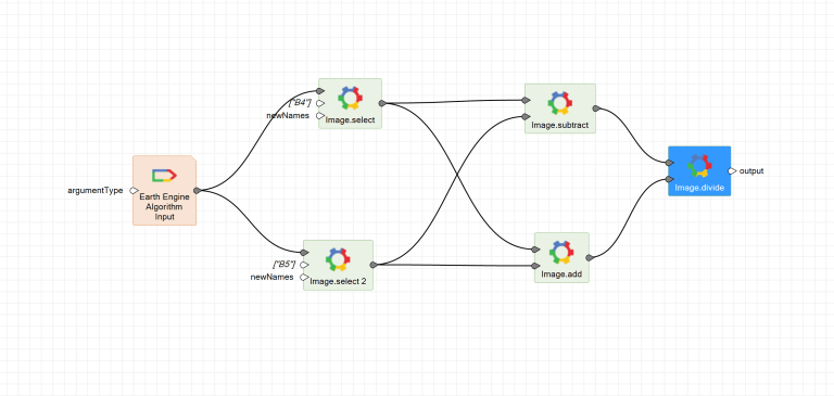
- Custom Operators: Specific operators tailored to link Google Earth Engine with IMAGINE enable data discovery, information requests, algorithm creation, and execution. These operators simplify your workflow and empower you to craft customised solutions tailored to your unique needs.
- Seamless Data Integration: Seamlessly merge Google Cloud data with your local datasets for comprehensive analysis. This integration ensures you have all the tools you need at your disposal, regardless of where your data resides.
This new version of ERDAS IMAGINE delivers one of its most innovative updates yet and combines two powerhouse functions to the benefit of geospatial data users everywhere. With this unprecedented access to previously hard to manipulate data it’s exciting to see how both will be used going forward.
See It in Action and Tailor It to Your Workflow
To help you visualise the benefits of this integration, our team has put together an informative video demonstration. In this video, we walk you through the seamless fusion of Google Earth Engine and ERDAS IMAGINE, emphasising the advantages and illustrating how it can elevate your geospatial analysis.
Need help to explore this integration and find out how it could be tailored it to your workflow? Reach out to us at [email protected] to schedule a live demonstration and discussion with our technical team.