Software & Data
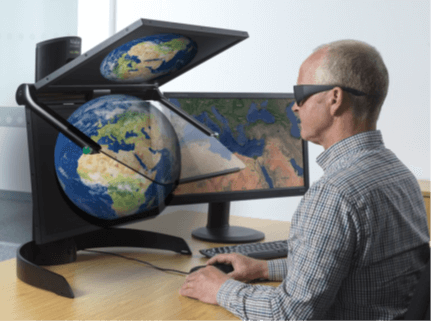
Stereo visualisation – what’s new?
In an increasingly virtual world, it is no surprise that the advancement of stereo visualisation…

Using Dashboards in M.App Enterprise – Part 1
A quick tutorial video explaining how to discover the functionalities of Feature Analyzer in Hexagon…

Stereoscopic 3D Monitor Brochure
Download the Stereoscopic 3D Monitor brochure to explore cutting-edge 3D visualisation technology for geospatial analysis…
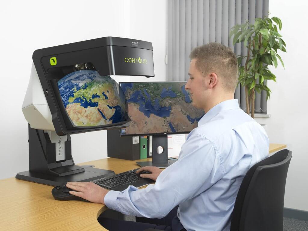
An integrated solution for 3D Visualisation
The stereo 3D viewing experience has always had some issues associated with it, with standard…

HxGN Live global 2022 wrap up
Having recently joined Geospatial Insight, I was thrilled with the opportunity to attend Hexagon Live…

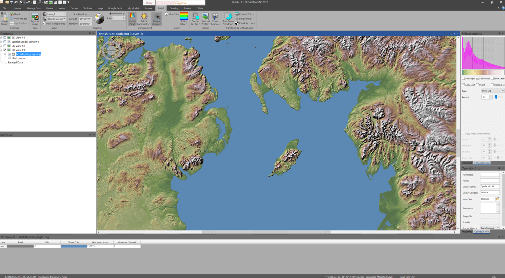
Using the User Operator in ERDAS IMAGINE
A quick tutorial video explaining how to discover the functionalities of User Operator in Spatial…

A day in the life of a Hexagon Geospatial developer
As a Platinum Partner of Hexagon Geospatial, we not only distribute their leading-edge technologies across…

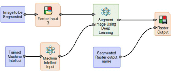
How to Use Feature Process in ERDAS IMAGINE
A quick tutorial video explaining how to feature process in Hexagon Geospatial ERDAS IMAGINE software
ERDAS IMAGINE 2022 – what’s new?
ERDAS IMAGINE 2022 is now a couple of months old so it’s a good time…

How to Subset by Shapefile in ERDAS IMAGINE
A quick tutorial walking through how to clip data by a shapefile (.shp) in Hexagon…
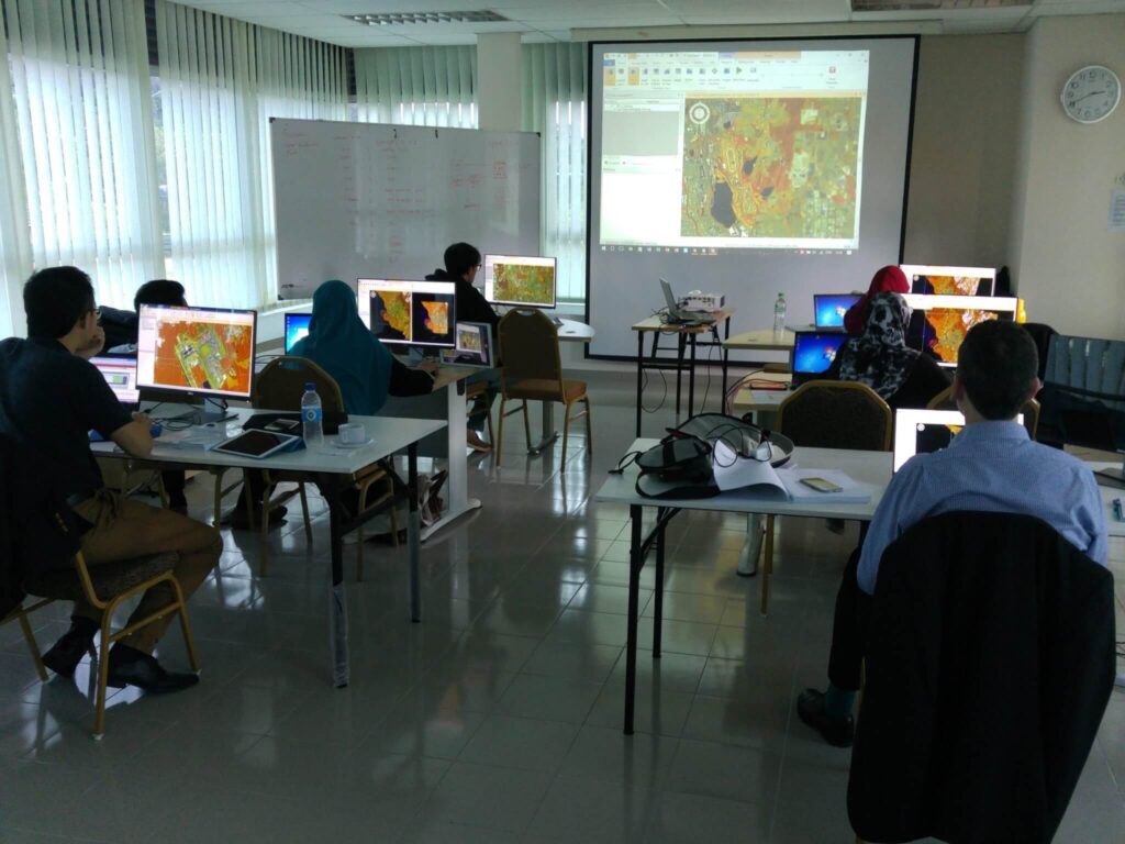
Tailored training for greater flexibility and sustainability
If you are looking for the best ERDAS IMAGINE training in the UK then you…
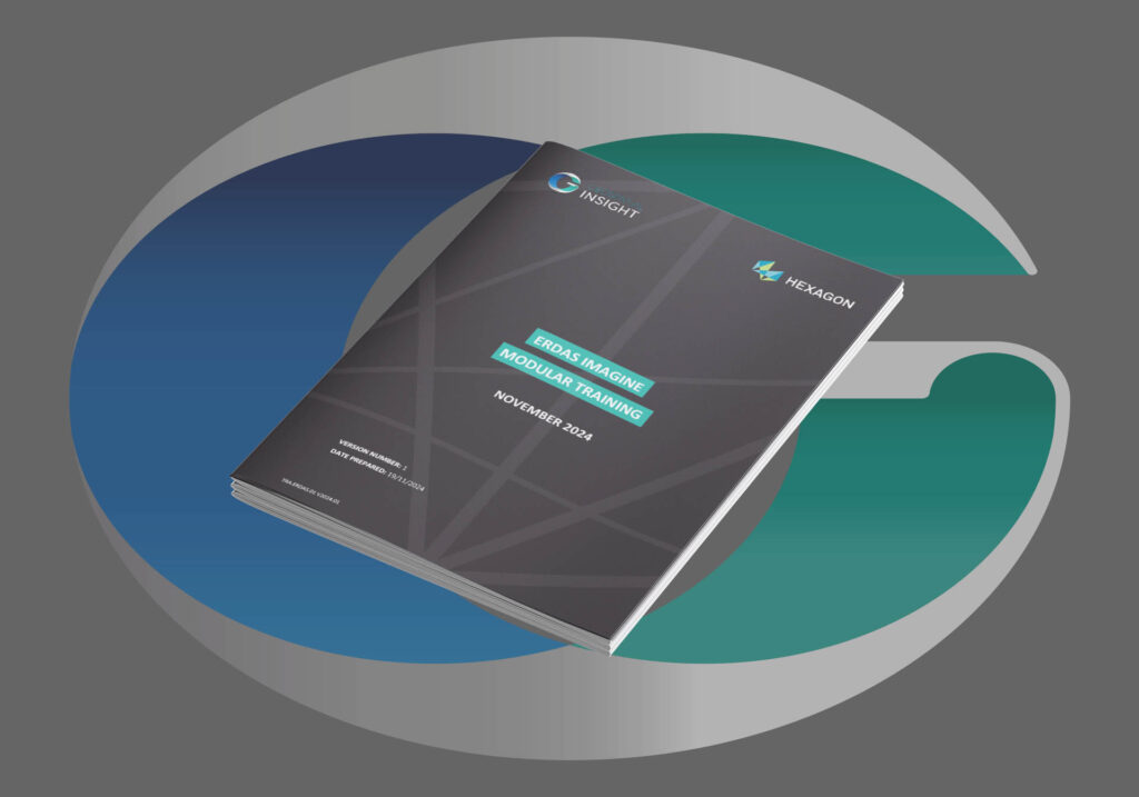
ERDAS IMAGINE Training Modules
Delivering ERDAS IMAGINE training courses worldwide. Discover our suite of module training packages, suitable for…
How to Use Image Chain in ERDAS IMAGINE
A quick tutorial to show you how to use Image Chain in Hexagon Geospatial’s ERDAS…

Build a Custom Button in ERDAS IMAGINE
A quick tutorial to show you how to create a custom button using the Spatial…
Enhanced CHEST bundles offering world-class solutions
The new Hexagon Geospatial CHEST Agreement for academic and research institutions in the UK and…