Imagery
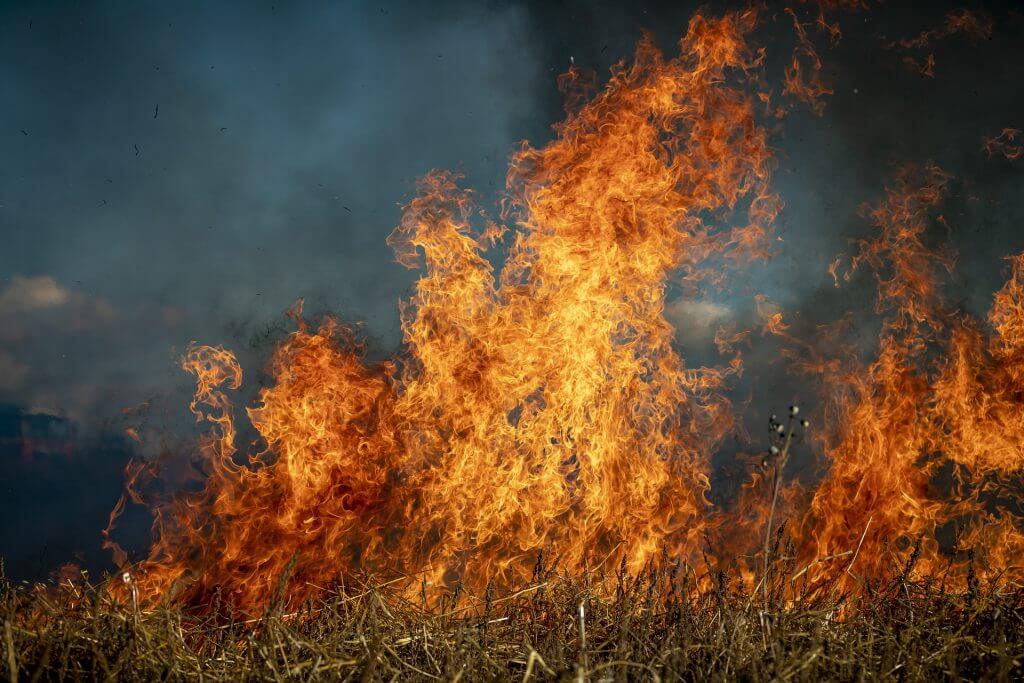
Remote Sensing Helping To Improve Wildfire Tracking
With global temperatures continually rising, and with local extremes of dry, hot weather, wildfires are…
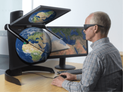
Stereo visualisation – what’s new?
In an increasingly virtual world, it is no surprise that the advancement of stereo visualisation…
Risk management from space
Dave Fox, Chief Executive Officer at Geospatial Insight, explains how satellite and drone technology have…
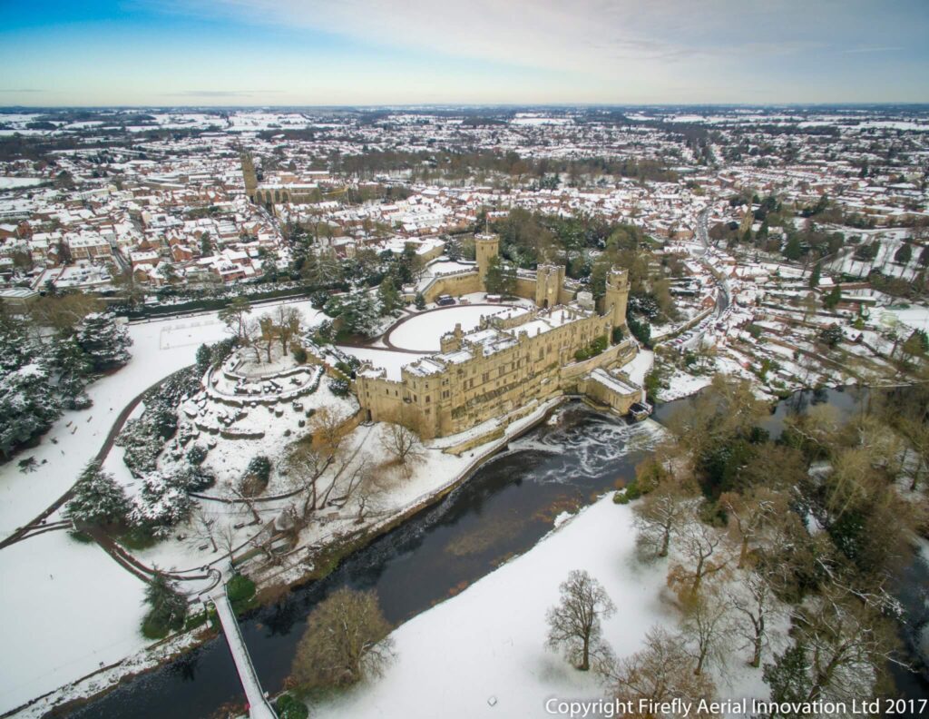
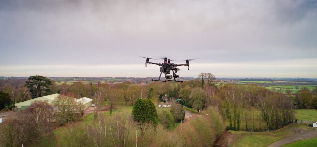
Geospatial Insight Invests in Firefly AI Drone Company
At Geospatial Insight we are continually growing our client base, particularly in the insurance sector…
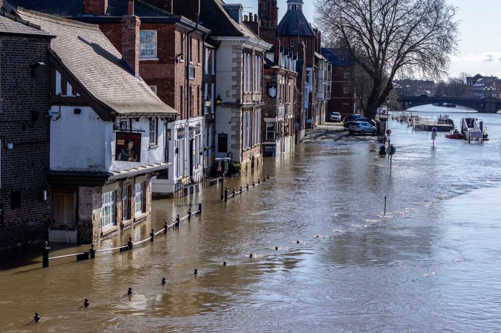
Storm Eva – UK floods
Between Storms Desmond, Eva and Frank, the month of December 2015 was Britain’s wettest in…
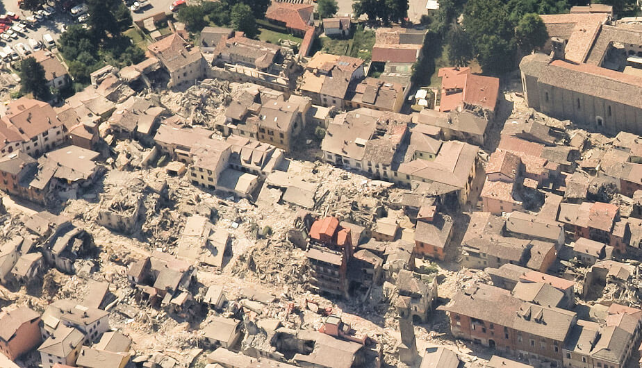
Earthquake Pescara Del Tronto, Italy
When a 6.2 magnitude earthquake hit central Italy on 24th August 2016, it forced thousands…
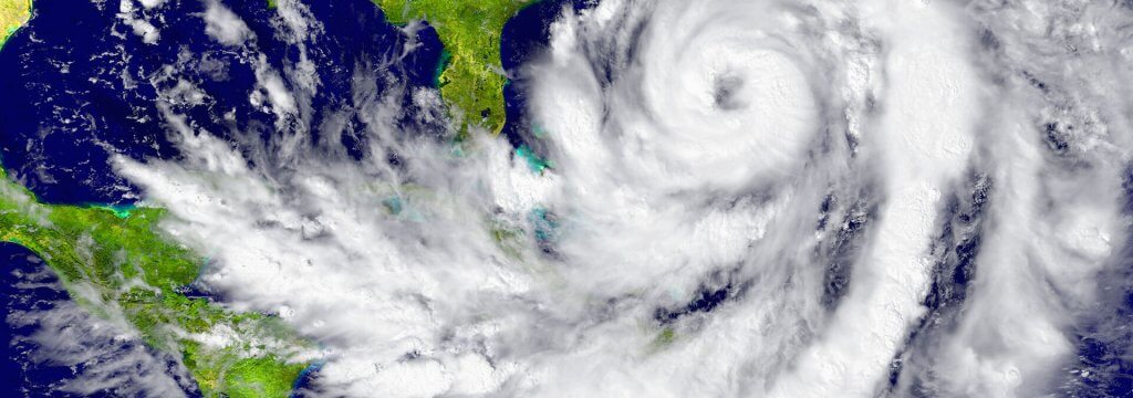
Hurricanes Harvey and Irma
Hurricane Harvey had a catastrophic effect on Houston and its surrounds, displacing approximately 1 million…

ESA Backs Geospatial Insight & Deimos Space Project
Geospatial Insight and Deimos Space UK granted funding from European Space Agency to develop improved…