Satellite Imagery
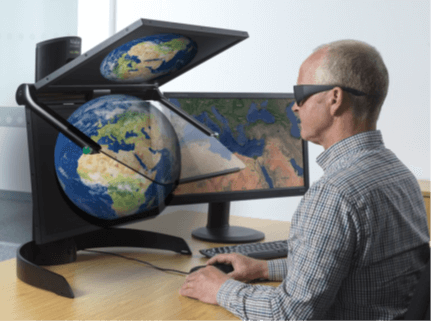
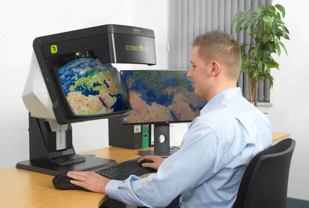
Stereo visualisation – what’s new?
In an increasingly virtual world, it is no surprise that the advancement of stereo visualisation…
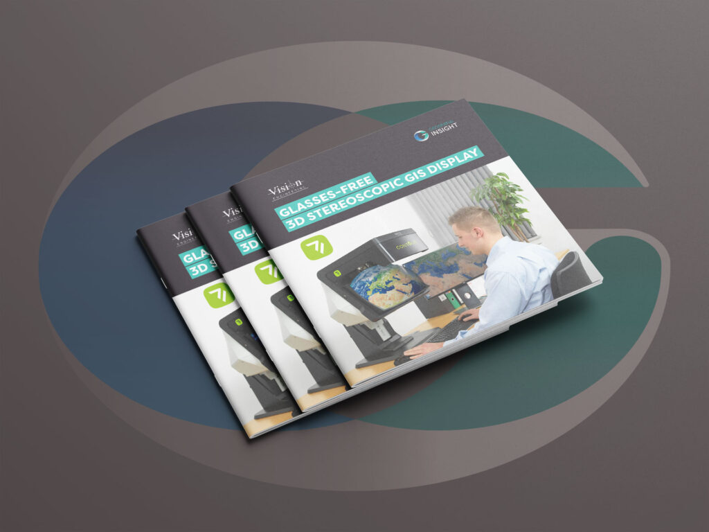
Stereoscopic 3D Monitor Brochure
Download the Stereoscopic 3D Monitor brochure to explore cutting-edge 3D visualisation technology for geospatial analysis…
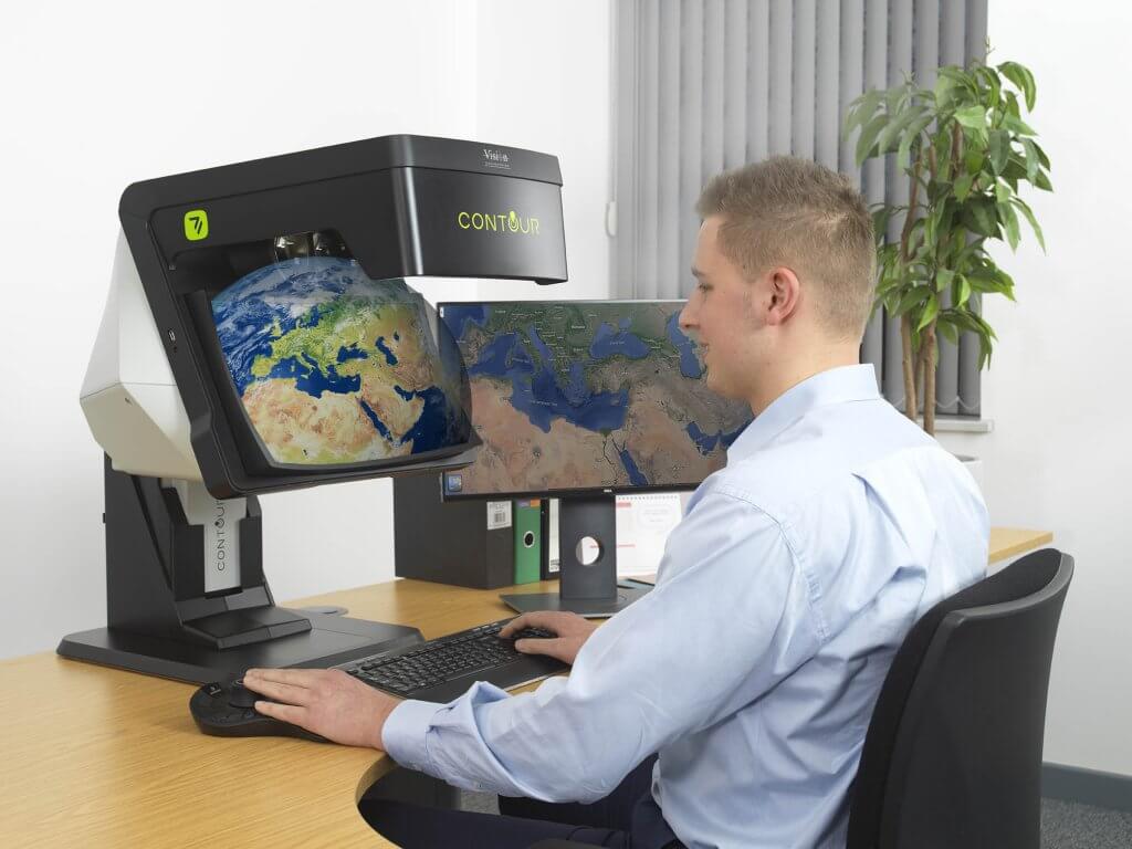
An integrated solution for 3D Visualisation
The stereo 3D viewing experience has always had some issues associated with it, with standard…
A powerful team for on-demand data analytics
The satellite Earth Observation (EO) industry is evolving incredibly quickly, as new satellites are being…
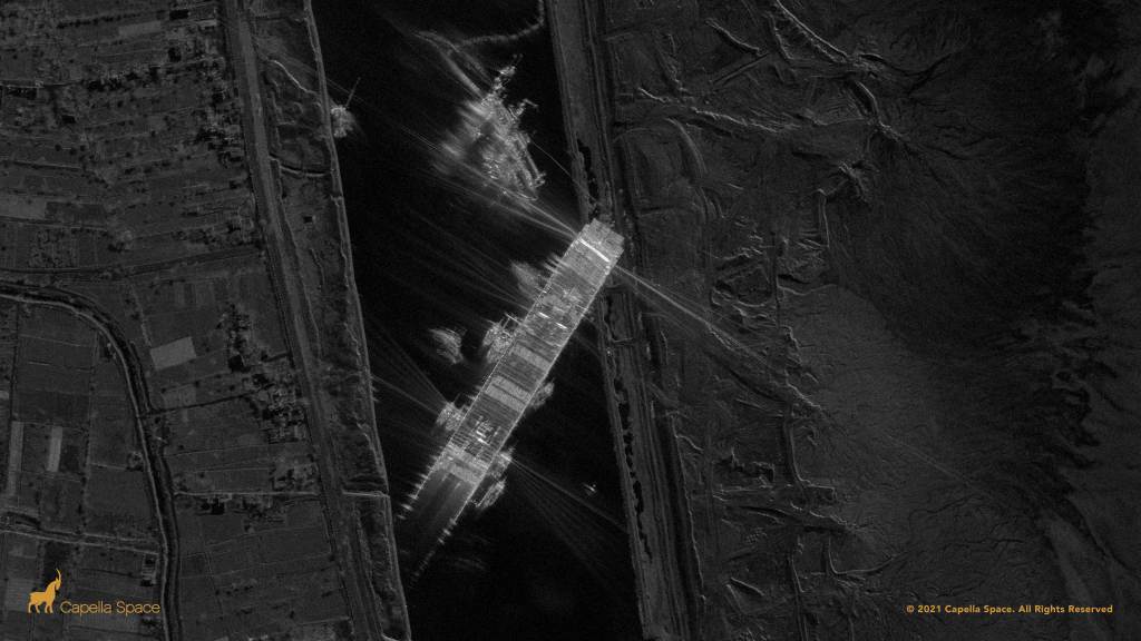
A partnership to leverage worldwide intelligence
Capella Space launched its first operation satellite, Capella-2, in August 2020 and now provides very…

Remote sensing of London’s urban heat island
A ‘Research in Education’ case study, documenting a recent investigation from one of our academic…
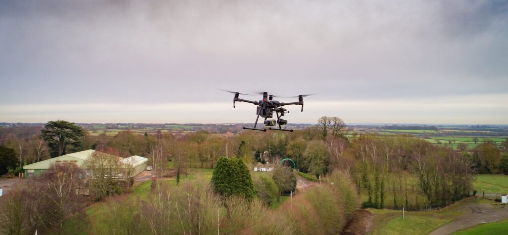
Powerful partnership for 3D analysis
Using a data-driven approach, is there another way to gather up-to-date information without putting the…
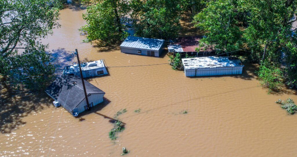
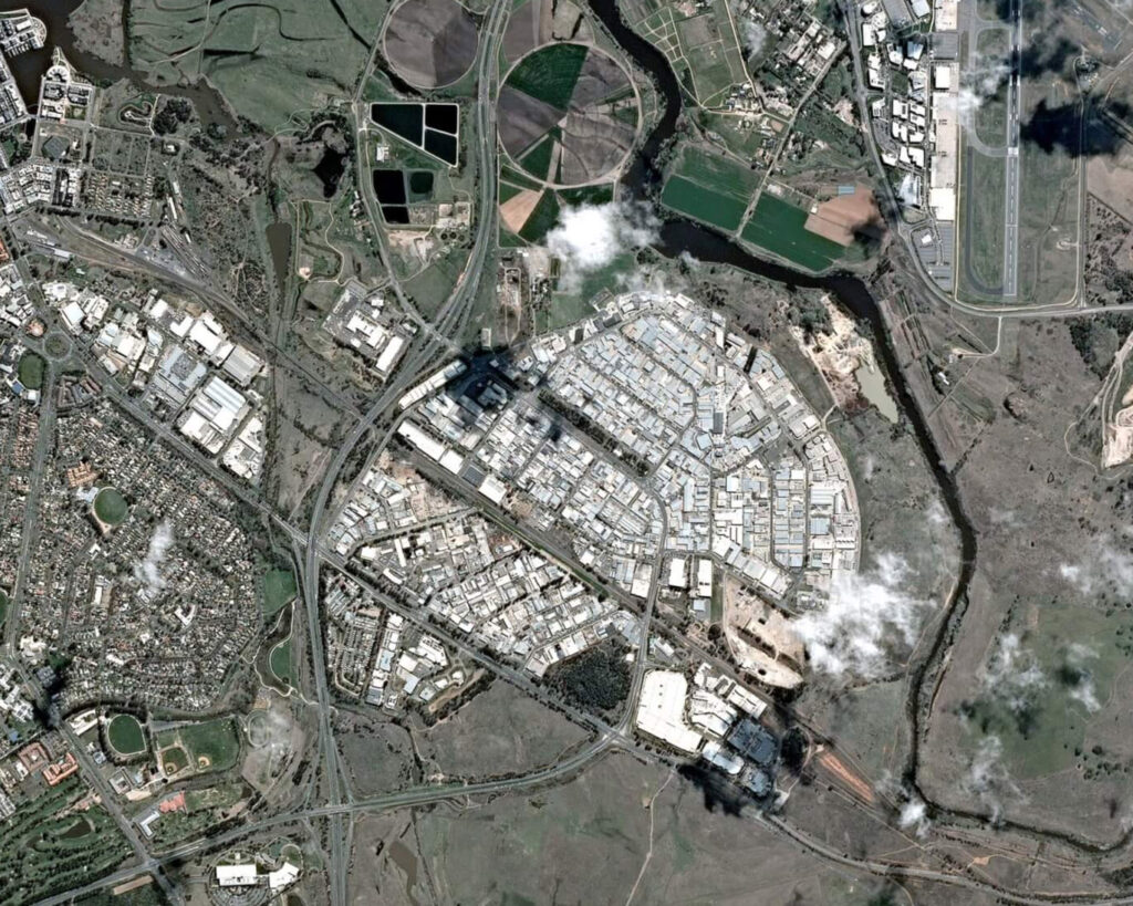
Queensland Floods
When the Australian state of Queensland was hit by an unprecedented period of monsoon rainfall,…
Risk management from space
Dave Fox, Chief Executive Officer at Geospatial Insight, explains how satellite and drone technology have…

ESA Backs Geospatial Insight & Deimos Space Project
Geospatial Insight and Deimos Space UK granted funding from European Space Agency to develop improved…