Alternative data derived from satellite imagery provides key visual evidence to complement market data and financial metrics used for traditional due diligence, simplifying processes used for portfolio management.
Historic asset performance is audited using time series data that correlates to asset return and reveals whether other sources are unreliable or deliberately deceptive.
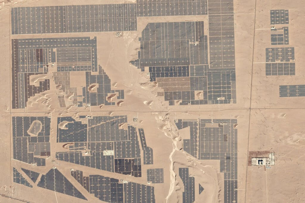
Modelling asset performance is also validated using visual intelligence and data from archive imagery. This approach is particularly valuable for assets in emerging and frontier markets where a traditional site visit may be difficult or results from it require further validation.
Solar Farm, China. ©2020 Planet
Solar Farm, China. ©2020 Planet
Asset geography is fast becoming a significant factor for the portfolio manager and research professional, with services needed to provide data to support both pre and post-trade risk analytics.
Alternative data from satellite quantifies environmental, operational and geopolitical risk, insights which are used to improve the calculation of overall investment risk.
Reporting is enriched with real data used to identify, measure and manage risk within the portfolio. Whether modelling events, impacts and compliance, monitoring change during the holding period or quickly reacting to increased risks observed.
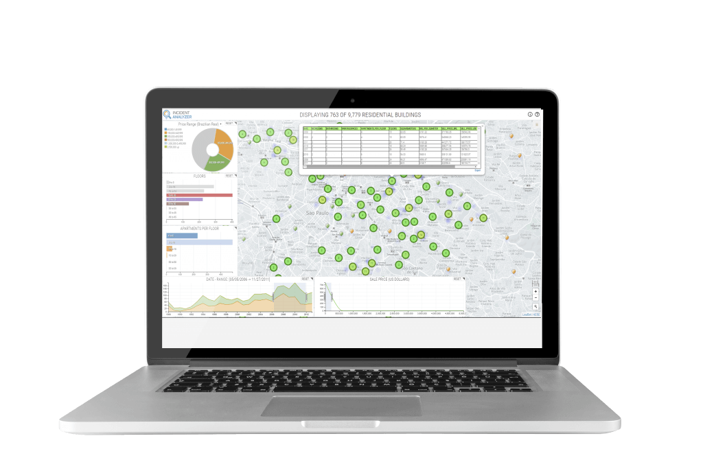
Measuring the actual performance of assets within a portfolio once under management is the game-changer that alternative data from satellite imagery delivers. Near real-time delivery of daily data provides valuable time-series information which is the leading indicator to asset performance.
The perfect tool for client reporting, monitoring compliance, affirming returns and confirming the overall performance to investment hypothesis.
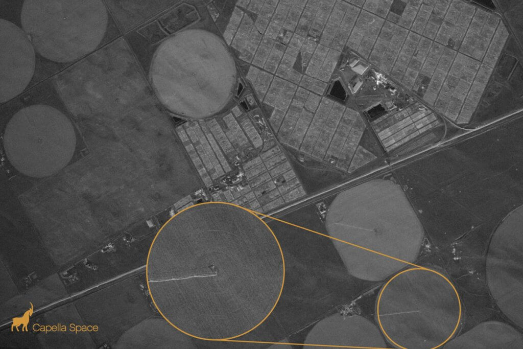
Irrigation system, Colorado. ©2020 Capella
Benefit from unparalleled data access, an extensive Hexagon software portfolio and licencing of the AI and machine learning algorithms that have developed. These tools can be used to plan and develop your own in-house time-series data from satellite, to support your own fundamental research and predictive analytics – the ultimate proprietary data solution.
Browse our latest news and insights
Learn more about the experts behind the insights
Get in touch with our team today