


Remote Sensing Helping To Improve Wildfire Tracking
With global temperatures continually rising, and with local extremes of dry, hot weather, wildfires are a growing concern worldwide, with a devastating impact on the environment, communities, and economies.
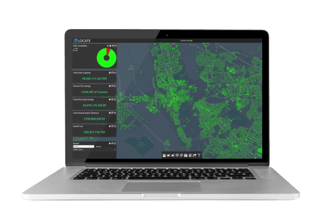
Essex County Council identifies rooftop potential using LOCATE SOLAR
Essex County Council is responsible for over 3,600sqkm of land, 750,000 buildings and in excess of over 1.5 million people. In 2020 the Authority launched a dedicated Essex Climate Action Commission. The Committee released the Essex Climate Action Plan in November 2021, with the aim of making the entire county Carbon Net Zero by 2050.
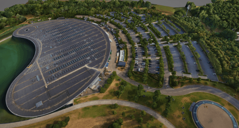
The Third Dimension – 3D Showcase
With an ever-increasing need for timely data and geographical understanding, governments and businesses worldwide continue to direct resources to obtain, use and understand geospatial data that directly supports informed decision-making.