
Custom Solutions
What’s New in M.App Enterprise?
Update 2 for M.App Enterprise 2023 has just been released. As well as a few bug fixes, it also brings some new and exciting technology to the platform.
Hexagon
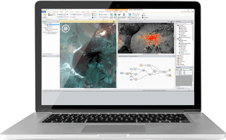
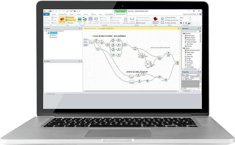
Breaking Barriers – The Latest ERDAS IMAGINE Update
Earlier this month Hexagon released the eagerly anticipated ERDAS IMAGINE 16.8.
Hexagon
HxGN LIVE Global: The Latest News from Hexagon’s Global Showcase
Last month I attended HxGN LIVE Global which took place in Las Vegas, NV. Caesar’s Forum, a cavernous conference facility located in the heart of The Strip, hosted the event which attracted over 3,500 attendees from 77 countries. Despite the new venue and large audience Hexagon, as always, offered a friendly and inviting atmosphere across all aspects of the event.