Assembling a network of highly skilled aerial survey operators around the world to provide rapid access to high-quality imagery and other data options (e.g. lidar) acquired by conventional aerial survey platforms.
The Service
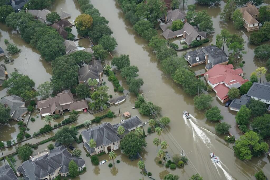
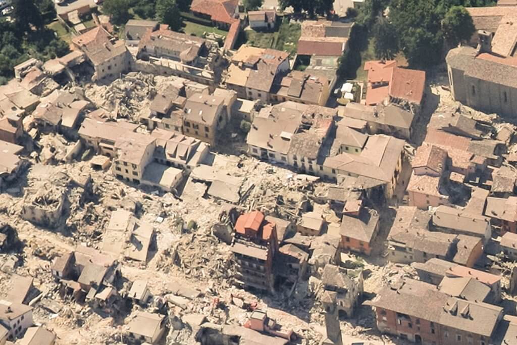
The partnership model is optimised to ensure that data is acquired rapidly and consistently to a high standard, as recent projects in the UK, USA and Italy have proved (see case study below).
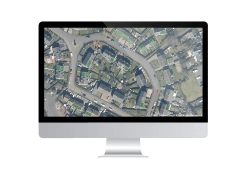
Acquired imagery can then be made available to visualise and share, alongside other datasets and client-relevant data, via the browser-based online platform, VIP.
Related INSIGHTS
Geospatial Insight and Bluesky launch strategic partnership to drive Rooftop Solar uptake
With solar energy becoming a crucial component in the journey towards achieving net zero, Geospatial Insight and Bluesky International are proud to unveil their strategic partnership aimed at transforming the landscape of solar rooftop analysis and coverage across the United Kingdom and Ireland, at the 2023 Solar & Storage Live event held at the NEC in Birmingham.
Hurricanes Harvey and Irma
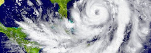
Hurricane Harvey had a catastrophic effect on Houston and its surrounds, displacing approximately 1 million people and causing an estimated $75 billion in damage. Rainfall reached 50 inches in some areas, and the storm unloaded 27 trillion gallons of water onto Houston and southeast Texas.
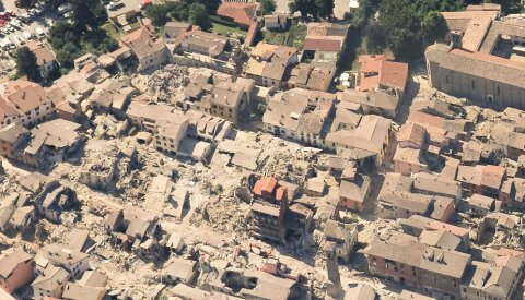
Earthquake Pescara Del Tronto, Italy
When a 6.2 magnitude earthquake hit central Italy on 24th August 2016, it forced thousands of Italians into homelessness and precipitated 45,000 aftershocks and four more devastating quakes. Italy’s losses in the six months following were estimated at €23 billion, with direct damages estimating €4.5 billion.
