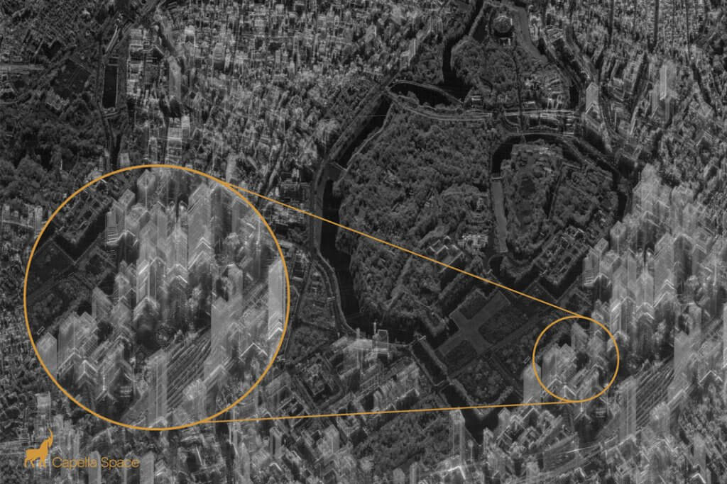
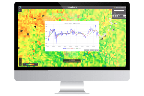
Effective, innovative and cost-efficient geospatial solutions for the insurance, financial and utilities sectors, developed by a team of technical experts with a broad scope of experience and expertise. With a wide and varied portfolio of successfully delivered projects, specific client requirements and objectives can be met with professional proprietary solutions.
Areas of Expertise
- Remote sensing and geospatial analysis
- Machine learning
- Map creation
- Data analytics and visual intelligence
- Product and software development
- Imagery supply; satellite, aerial, drone
- Locational data supply; social media, mobile and more

Tokyo, Japan. ©2020 Capella

Oil Palm Sustainability
An advanced tool for monitoring sustainable oil palm cultivation and the management of small holdings on a regional and national scale. Sustainability indicators:
- Planted palm oil area
- Oil palm plant age
- Areas under cultivation in major and small holdings
- Plant stress
- Wide area burning
- Weather impacts
National Mapping
Using the latest satellite imagery from leading suppliers, detailed topical maps can be created spanning whole countries. Key features:
- Up-to-date imagery
- Large geographic coverage
- Small scale topological mapping
- Thematic mapping including natural resources, land use and agriculture
- Seamless and colour-balanced mosaics
- Detailed mapping without the need for field teams


Sentinel 2, TH-01 and TripleSat data used to map the Republic of Guinea 2020
Related INSIGHTS

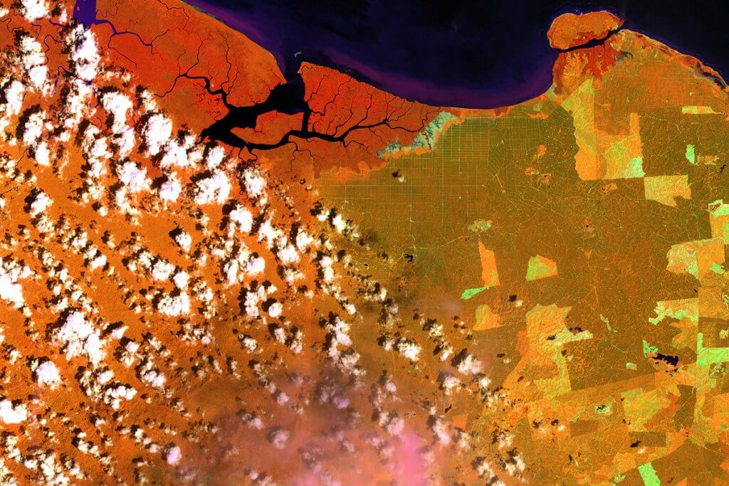
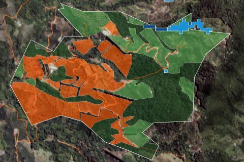
Using satellite technology to improve the speed and accuracy of credit lending decisions
With over a decade’s experience in developing bespoke solutions for clients in the insurance, investment, and finance sectors, we were ideally placed when a South American banking group asked how remotely sensed data may enhance their risk management processes and improve their credit lending decision-making for agricultural customers.

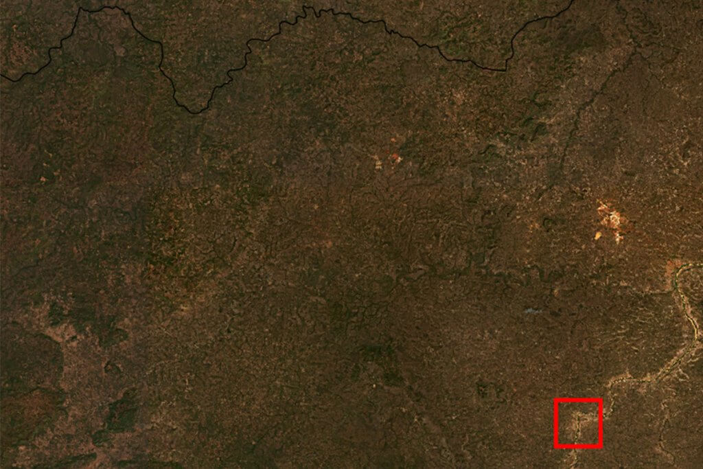
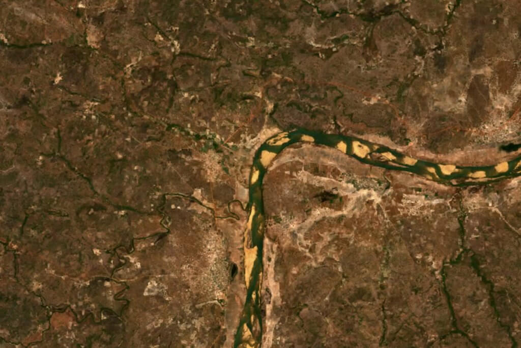
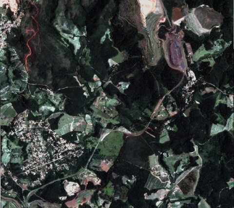
Deja vu – Brumadinho and Mariana dam disasters
Last year, we released a Youtube video on the collapse and possible causes of the Fundão Dam, visible and accessible courtesy of satellite imagery.

Geospatial Insight announces investment from Foresight Williams Technologies EIS Fund and Venturesone
Geospatial Insight, a leader in visual intelligence derived from geospatial big-data, today announced a £3.5m growth equity investment from Foresight Williams Technology EIS Fund and VenturesOne Investments. The financing will be used to expand Geospatial Insight’s machine learning capabilities as well as fast-tracking additional product streams and visual intelligence customer solutions.