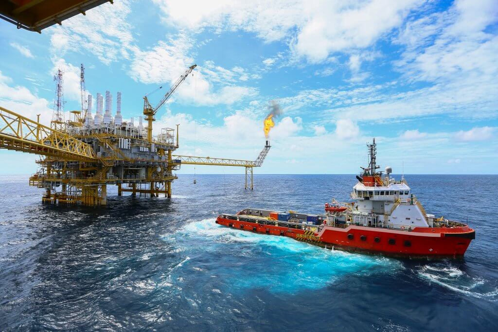
The oil industry is rife with traders and market analysts scouring the globe for innovative new ways to gather valuable information. In a highly competitive environment speed is king, with the first trader, manager or company to jump onto a new, potentially prosperous source of information likely to reap its rewards. The difficulty is twofold, the first hurdle to overcome is the sourcing of accurate information itself, the second comes with maintaining this source, with which comes competitive advantage, without rivals ascertaining the information too. Actionable insights derived from satellite imagery could solve this problem by providing reliable, near real-time insights into the state of oil refineries across the globe.
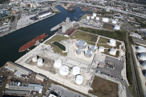
The rapid development of aerospace companies has not only improved the quality of satellite imagery but the availability also. Availability can be broken down into two sections; number of satellites and the subsequent decrease in revisit times. The number of earth observation satellites currently in orbit is truly mind boggling with the total at the end of August 2017 sitting at 620 – representing a 66% rise from the same period in 2016. During this same period Planet reached their target of imaging the Earth’s entire landmass every day, a fantastic achievement. This ability to capture imagery reliably and regularly has given rise to the possibility of conducting accurate analysis of satellite imagery to measure the levels of oil storage tanks. The increase in quality of imagery is also critical to the accuracy of measurements produced, without optical sensors this simply wouldn’t be possible.