Dave Fox previews AIRMIC 2019

Ahead of AIRMIC 2019, Geospatial Insight CEO Dave Fox shares a sneak peek of the cutting-edge technology for assessing property risk being showcased at the conference.

Geospatial Insight will be exhibiting at Airmic 2019 participating in the  first ever Tech Hub – a cutting-edge exhibition sponsored by Fujitsu, Airmic’s technology partner. The Tech Hub will feature some of the latest satellite, AI and cloud technologies available to insurers and risk managers.  

Geospatial Insight will be revealing PropertyView at Airmic, a cutting-edge solution for assessing property risk. Delegates visiting the Tech Hub will have the chance to see how satellite imagery, with a resolution of 32cm, combined with satellite data, can be used to build an accurate risk profile of buildings around the world in just minutes.

Dave Fox, Geospatial Insight CEO explains:

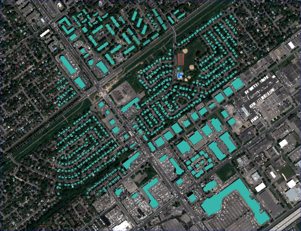
“This data can be used by insurers, brokers and businesses to gain a far more accurate risk profile and support pricing strategies. “The key is that we can do it at scale and at a reasonable price. Similar technology exists in the US but is either more costly or is driven by drone use which is considerably more difficult to scale up”

The product is currently in its final stages of production so it really will be hot off the press at the Tech Hub!

PropertyView is being showcased at the annual Airmic Conference taking place on 3rd – 5th June 2019  as part of the Fujitsu Tech Hub.