

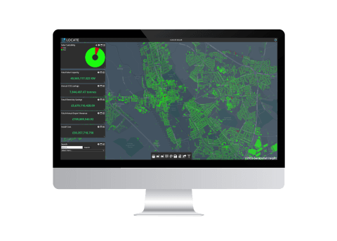
LOCATE SOLAR Database Expands to Encompass Scotland and Wales
Geospatial Insight, the UK’s leading provider of clean energy geospatial solutions behind LOCATE SOLAR, proudly announces the expansion of its ground-breaking database to include Scotland and Wales. This strategic move solidifies LOCATE SOLAR as the most comprehensive and up-to-date national rooftop solar sustainability database across Great Britain.
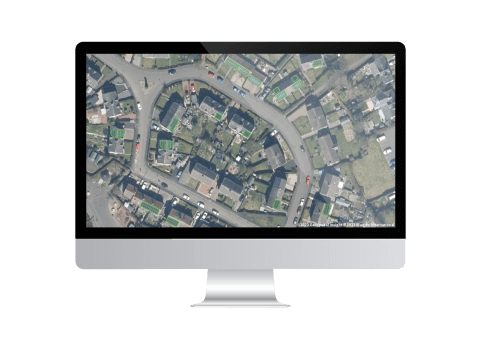
Geospatial Insight and Bluesky launch strategic partnership to drive Rooftop Solar uptake
With solar energy becoming a crucial component in the journey towards achieving net zero, Geospatial Insight and Bluesky International are proud to unveil their strategic partnership aimed at transforming the landscape of solar rooftop analysis and coverage across the United Kingdom and Ireland, at the 2023 Solar & Storage Live event held at the NEC in Birmingham.
State of solar energy infographic *September Update*
Download the full infographic here DOWNLOAD