Finance
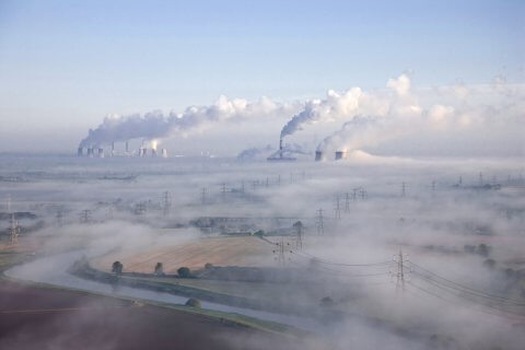
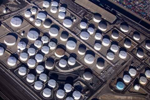
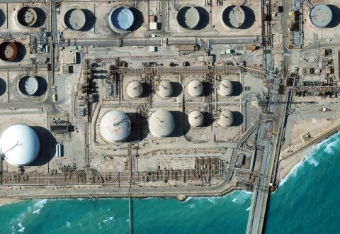
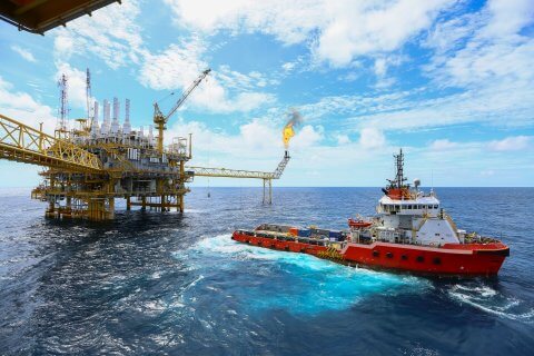
Connecting satellite imagery and the oil industry
The oil industry is rife with traders and market analysts scouring the globe for innovative new ways to gather valuable information. In a highly competitive environment speed is king, with the first trader, manager or company to jump onto a new, potentially prosperous source of information likely to reap its rewards