PropertyView Brochure
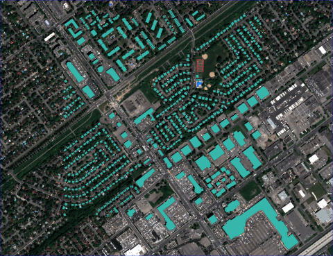
Find out more on how PropertyView combines artificial intelligence and scalable cloud computing to extract critical building information from satellite imagery.

Find out more on how PropertyView combines artificial intelligence and scalable cloud computing to extract critical building information from satellite imagery.

Leveraging innovations in drone, satellite and aerial imagery and combining this with big data capabilities, find out more about Geospatial Insight are revolutionising the insurance

Ahead of AIRMIC 2019, Geospatial Insight CEO Dave Fox shares a sneak peek of the cutting-edge technology for assessing property risk being showcased at the conference.

New to market product applies advanced AI technology to extract critical property risk information from satellite imagery.

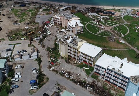
When Hurricane Maria battered the Caribbean in 2017, the damage was indescribable. Antigua and Barbuda’s ambassador to the United States, Ronald Sanders, described the civilization of his island as “extinguished.” While varying in degree, the overriding message of sadness and loss was shared across the region.
Browse our latest news and insights
Learn more about the experts behind the insights
Get in touch with our team today