(RE)ACT
2020-Another record-breaking hurricane season
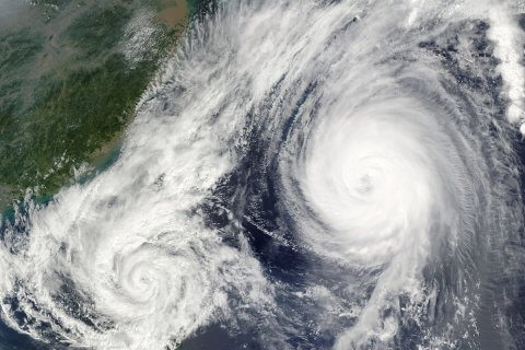
The Atlantic season 2020 has now officially come to a close with a record-breaking 30 named storms, of which 6 developed into major hurricanes. The season began earlier than expected with Tropical Storm Arthur forming in mid-May and closed with major Hurricane Iota last month.