(RE)ACT
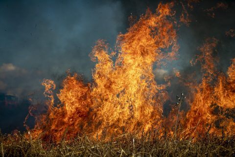
Remote Sensing Helping To Improve Wildfire Tracking
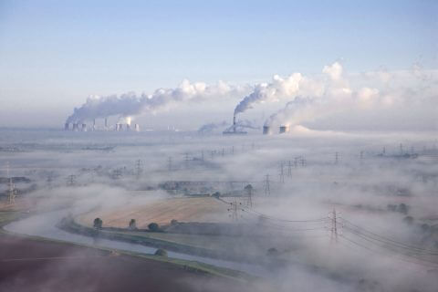
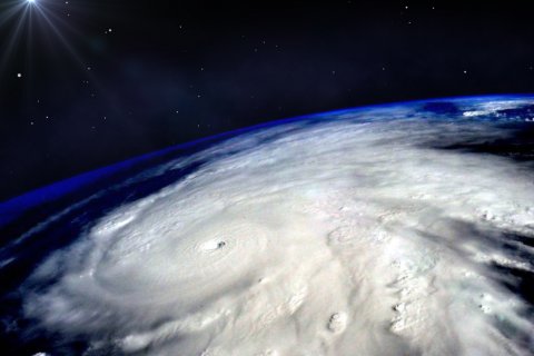
With global temperatures continually rising, and with local extremes of dry, hot weather, wildfires are a growing concern worldwide, with a devastating impact on the environment, communities, and economies.