E Mobility
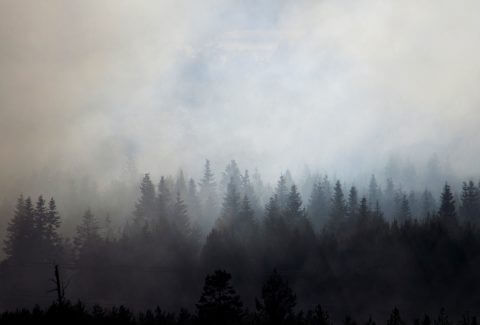
Greenland is not traditionally thought of as a wildfire-prone region, however the number and size of fires across the Arctic region is known to be increasing. This includes the widely reported large tundra fires in western Greenland during the summer in 2017 and 2019. These paint the picture of a changing fire regime in a rapidly warming part of the world.
Download the full infographic here DOWNLOAD
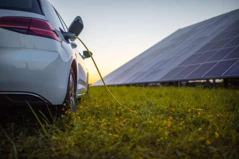
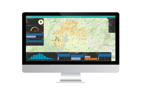
Geospatial Insight, the UK’s leading provider of clean energy geospatial solutions, has launched LOCATE EV, a ground-breaking Electric Vehicle (EV) network planning platform, bringing together critical datasets and intuitive functionality to facilitate EV charge point network planning across the UK, for both public and private sector clients.
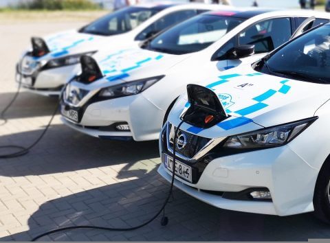
The utilisation of Electric Vehicles (EV) in the UK has grown rapidly in recent years. There are now over 1.2m million plug-in vehicles (500k pure EV, 700k hybrid) in use on UK roads. This rapid rise is forecast to continue due to;
With a wide range of experience in utilising remotely sensed data – such as satellite imagery – in tandem with advanced analytics to create bespoke
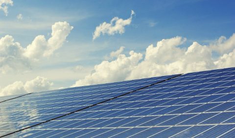
Geospatial Insight have been selected by Winchester City Council to assess the solar potential of over 600 square kilometres of its non-urban land, in support of the Authority’s ambitions to become carbon neutral by 2024, and their goal for the entire district to become carbon neutral by 2030. The analysis will also include Strategic Housing and Economic Land Availability Assessment (SHELAA) sites, to enable better decision making about the most beneficial future use of SHELAA locations.

Millions of families in the UK risk being forced into fuel poverty after the energy price cap was increased in April leading to bills going up by £693 for 18 million households on standard tariffs. With further increases of up to £800 expected in October, when the energy price cap is next reviewed, it doesn’t appear there will be a reprieve any time soon. But what is specifically behind the energy crisis in the UK? What have other countries done to avoid similarly disastrous situations? What can the country do to mitigate the impact and help millions of citizens and businesses? And importantly, how can we reduce our reliance on fossil fuels in favour of clean energy sources, such as solar power?
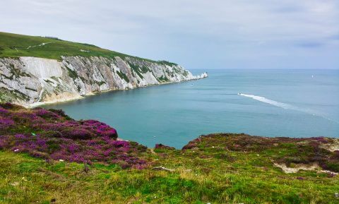
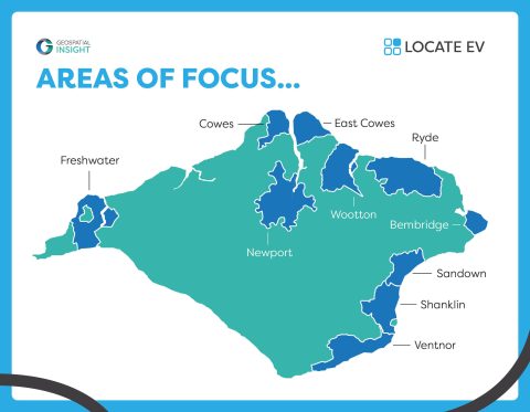
Geospatial Insight have been selected by a consortium of Public Sector bodies, including Isle of Wight Council, South West Net Zero Hub, and the West of England Combined Authority, to undertake a detailed analysis of the Isle of Wight’s key urban conurbations and council owned car parks to support the development of a public EV infrastructure deployment strategy for the south coast island.
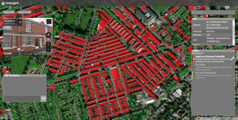
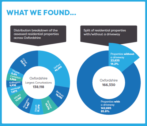
Geospatial Insight (GSI) are working with Charge Point Operator Be.EV to help deliver fair and equitable EV charging infrastructure solutions across Greater Manchester. GSI are providing innovative, location based, intelligence around driveway availability, footway widths, and potential catchment areas for off-street charging hubs, allowing Be.EV to rapidly identify and prioritise deployment sites across the region.