
RE(ACT) for Hurricanes, Harvey & Irma
BRINGING CUSTOMER SERVICE TO THE FORFRONT OF THE CLAIMS PROCESS
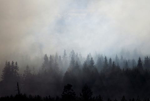
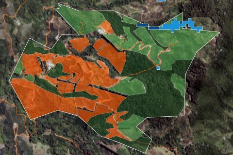
Using ERDAS Imagine to detect wildfires
Greenland is not traditionally thought of as a wildfire-prone region, however the number and size of fires across the Arctic region is known to be increasing. This includes the widely reported large tundra fires in western Greenland during the summer in 2017 and 2019. These paint the picture of a changing fire regime in a rapidly warming part of the world.
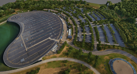
The Third Dimension – 3D Showcase
With an ever-increasing need for timely data and geographical understanding, governments and businesses worldwide continue to direct resources to obtain, use and understand geospatial data that directly supports informed decision-making.
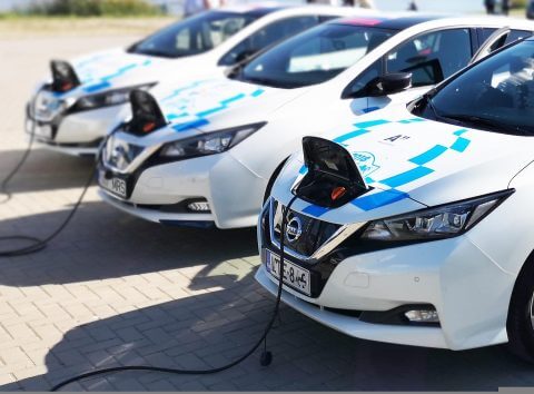
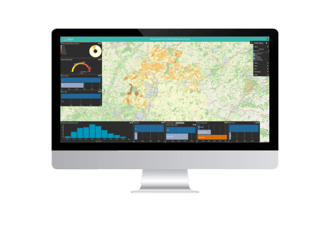
Isle of Wight EV charging strategy
The utilisation of Electric Vehicles (EV) in the UK has grown rapidly in recent years. There are now over 1.2m million plug-in vehicles (500k pure EV, 700k hybrid) in use on UK roads. This rapid rise is forecast to continue due to;
Using satellite technology to improve the speed and accuracy of credit lending decisions
With over a decade’s experience in developing bespoke solutions for clients in the insurance, investment, and finance sectors, we were ideally placed when a South American banking group asked how remotely sensed data may enhance their risk management processes and improve their credit lending decision-making for agricultural customers.